May 16, 2020 - Susquehanna West Branch -
Deep Creek Lake
|
|
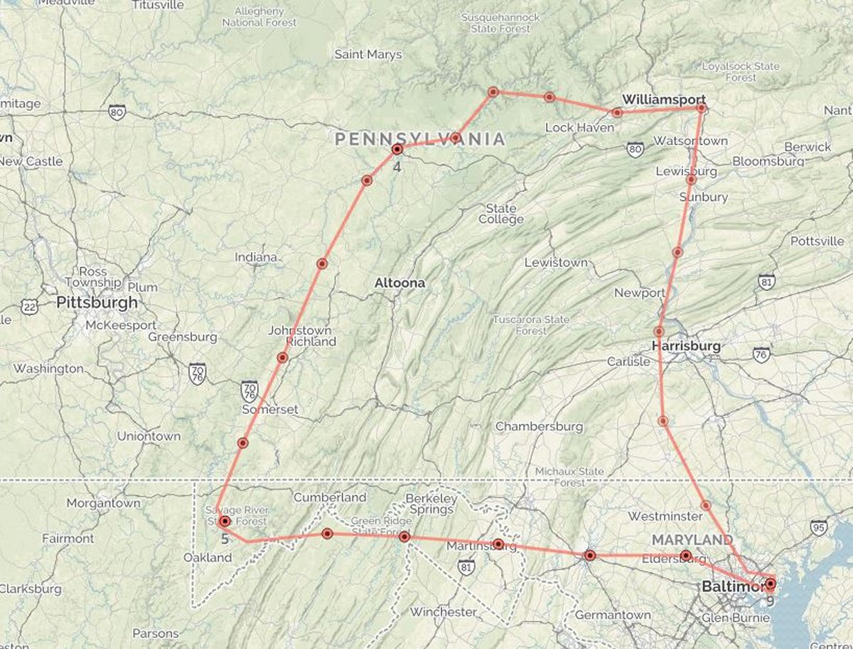
I hadn't flown since mid-March thanks to the Chinese Virus and having to do my Annual Inspection. I finally did a short post-maintenance check flight on May 10. Today I was going to do some serious flying! I decided I'd fly the West Branch Susquehanna River and also check out Deep Creek Lake in western Maryland.
Here is what I ended up flying -- counter-clockwise. I ended up with about 4.5 hours of flight time, stopping at two airports. The plane ran great.
|
| |
 |
|
|
|
| |
 |
|
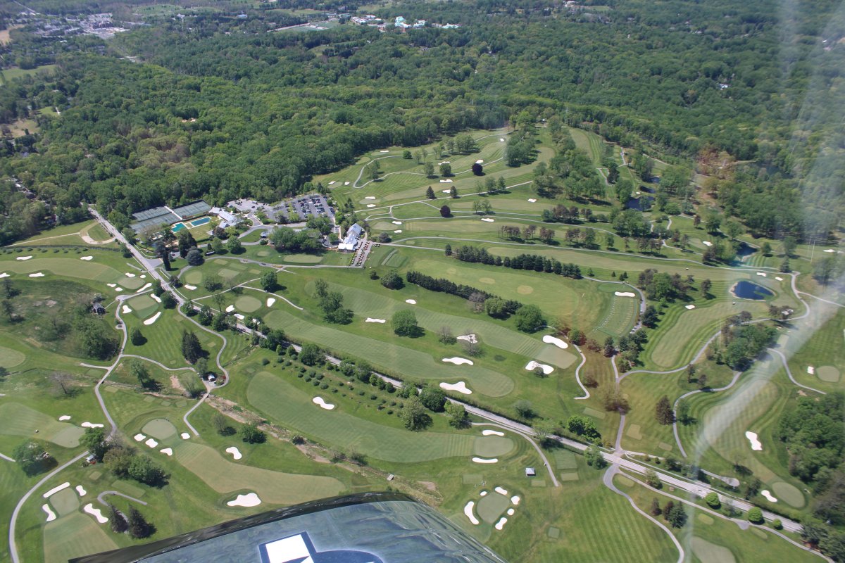
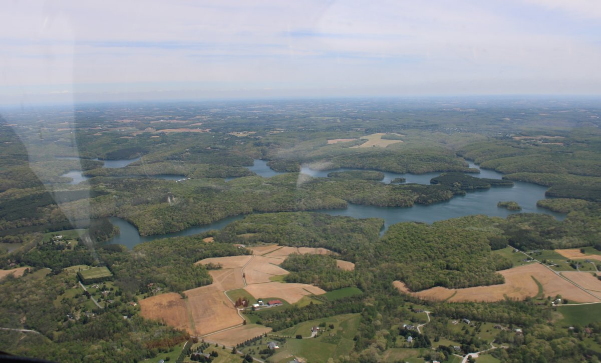
| Heading northwest past Prettyboy Reservoir. |
| |
 |
|
|
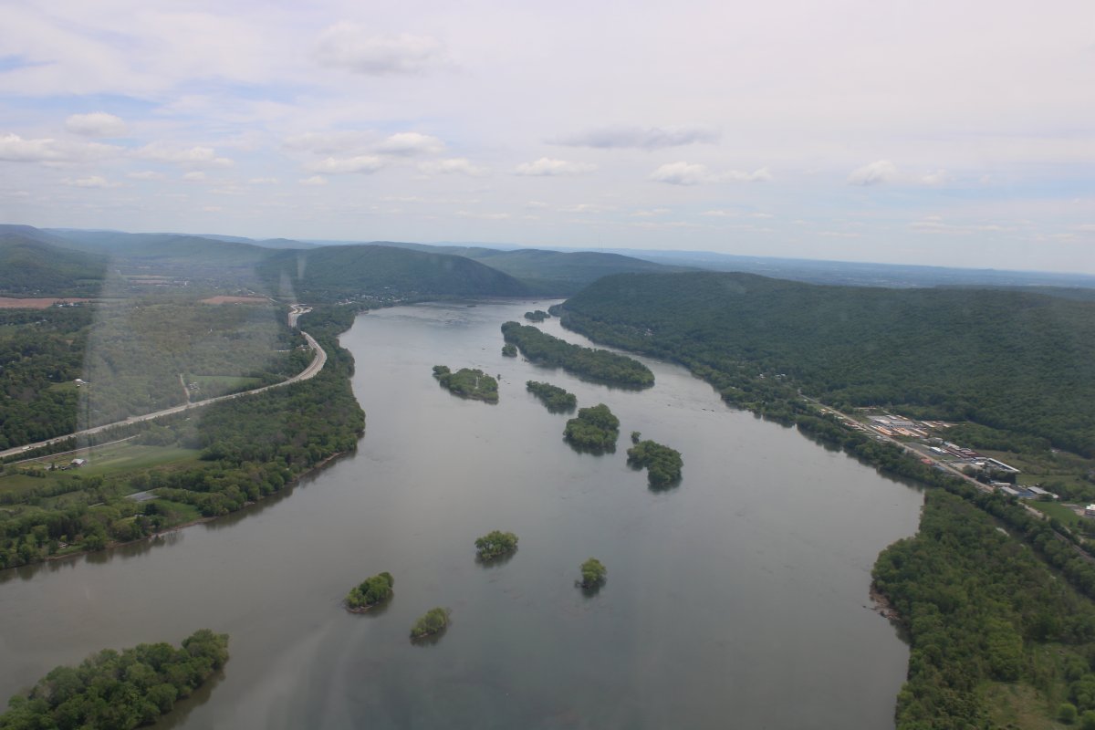
I skirted the west side of the Harrisburg airspace then headed north up the big Susquehanna River.
|
| |
 |
|
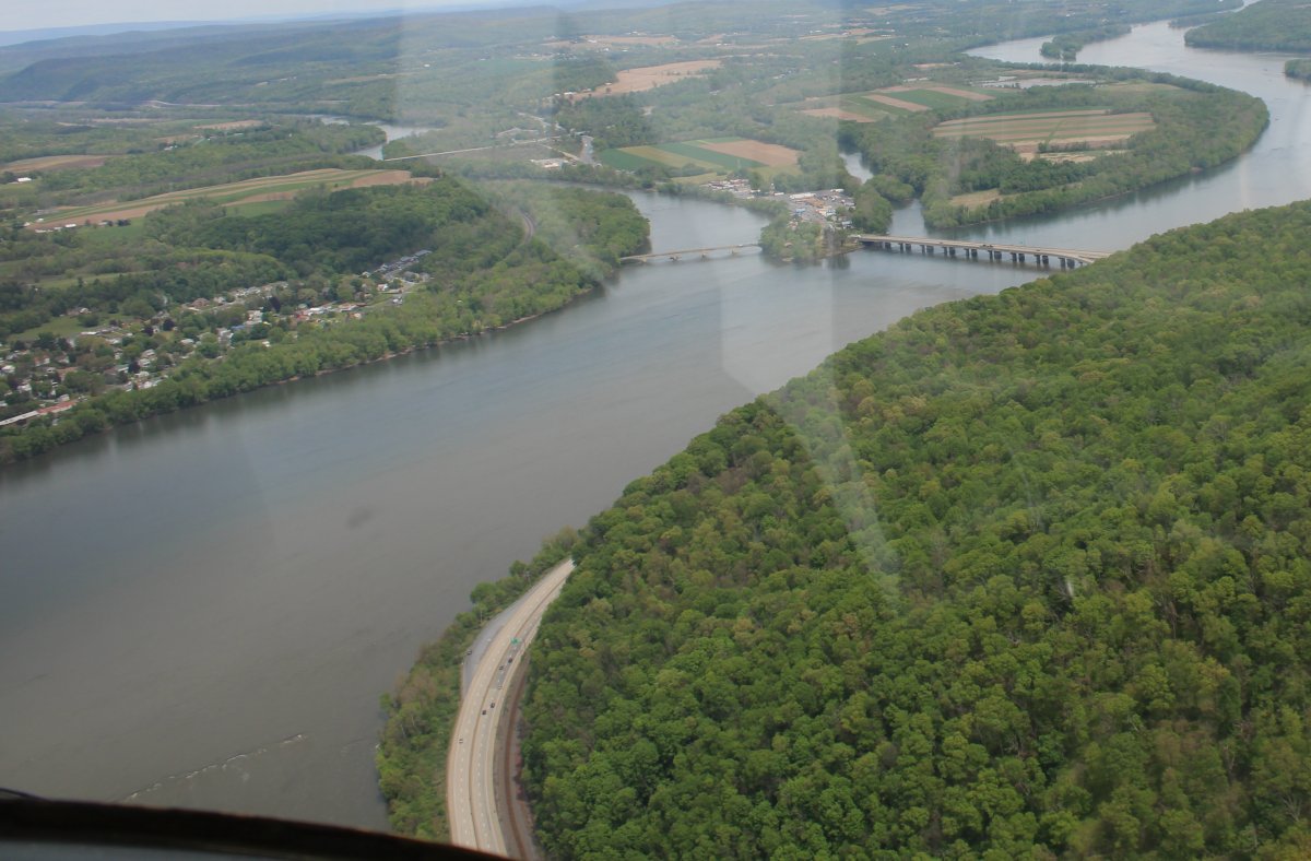
| Approaching the point where the Juiata River branches off to the west. That's the Clark Ferry Bridge across the Susquehanna River. |
| |
 |
|
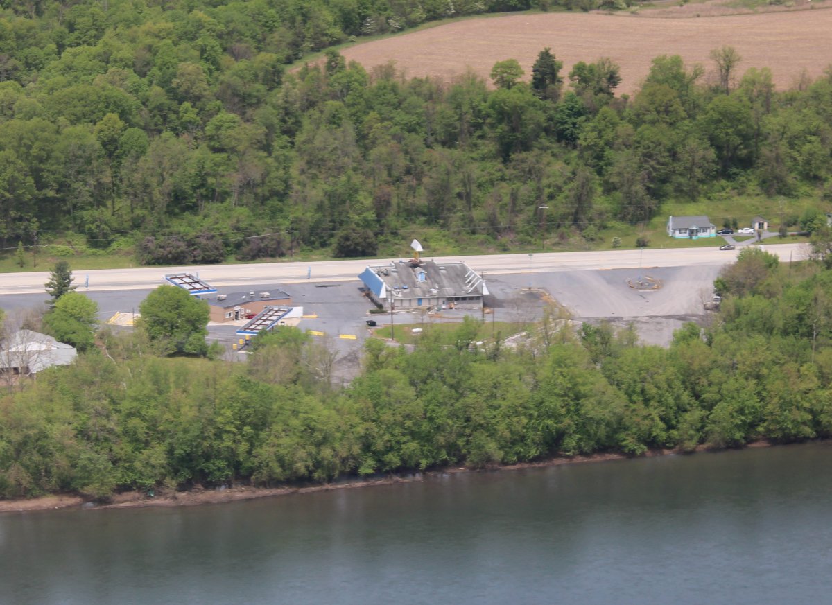
| Angie's Auto & Truck Plaza not very busy today. Or maybe it's out of business? Or maybe it is shut down due to the pandemic? |
| |
 |
|
| Clemson Island.
Clemson Island Prehistoric District is a historic archaeological site and national historic district located at Halifax Township, Dauphin County, Pennsylvania. It is a series of three spatially discrete loci. They constitute a transitional Middle Woodland - Late Woodland mound and associated village, that dates from the Early Archaic period (c. 6,900 B.C.) to the 18th century. The mound was excavated in May and June 1929.
It was added to the National Register of Historic Places in 1981. The island is only accessible by boat and is currently a wildlife preserve.
Looks to me like it would make a good grass runway.
|
| |
 |
|
|
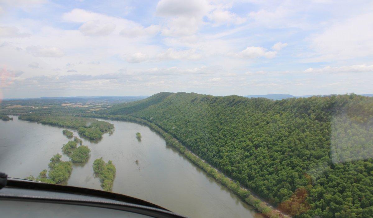
Cruising alongside a wooded ridge.
|
| |
 |
|
| Passing by Penn Valley Airport (KSEG) which sits on the west side of the river. |
| |
 |
|
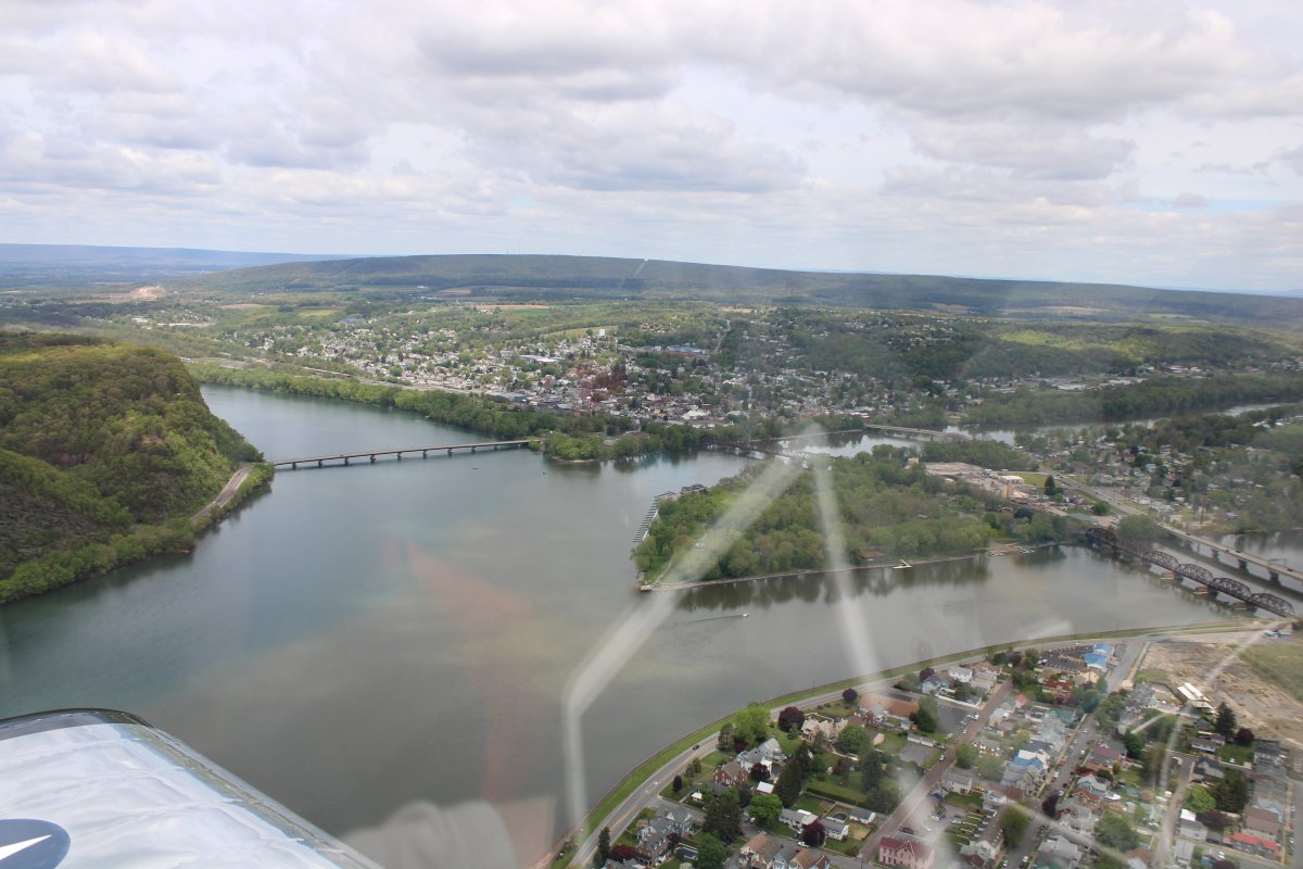
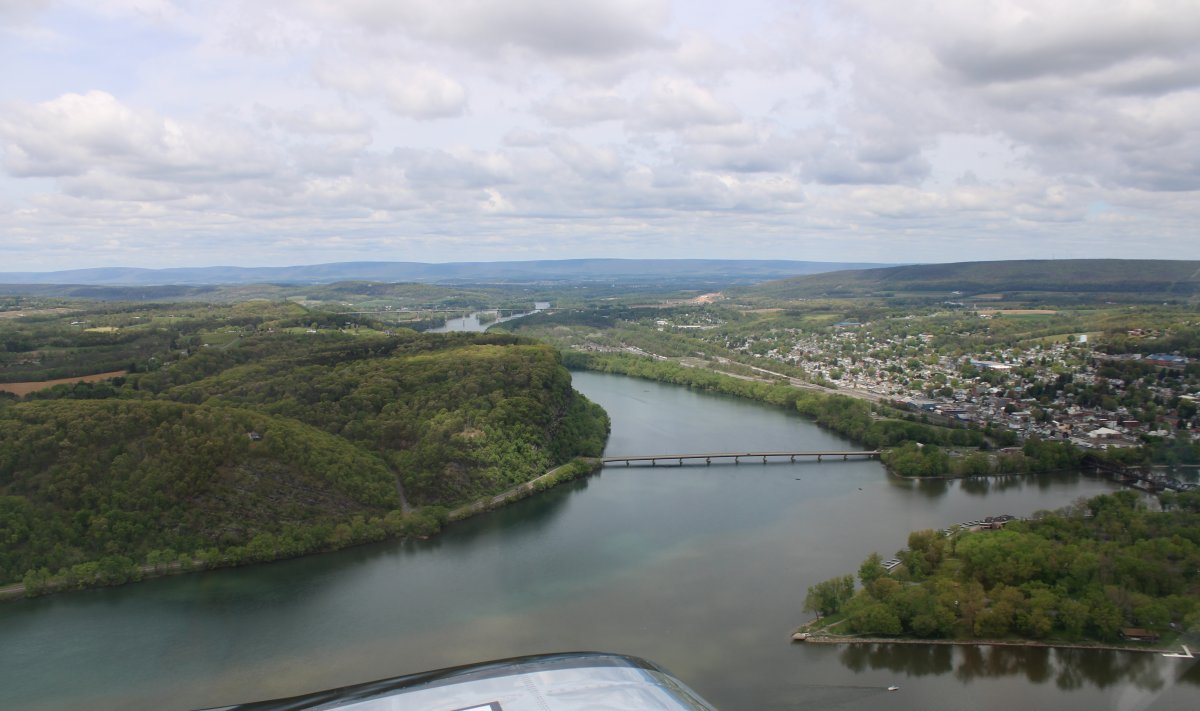
Approaching the point where the Susquehanna branches into two. The Susquehanna River goes to the right. I flew it back in August 2015: Link. To the left goes the West Branch Susquehanna River which is what I would be flying today for the first time. |
| |
 |
|
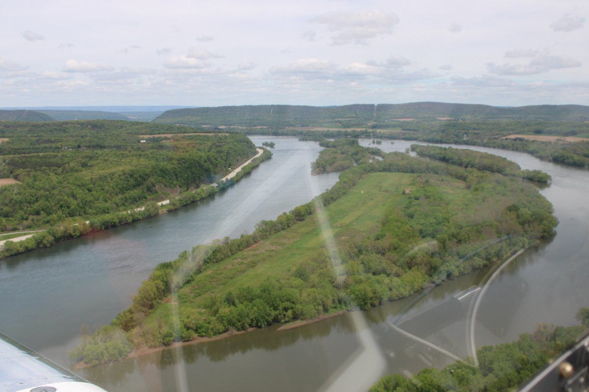
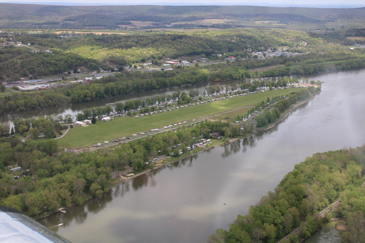
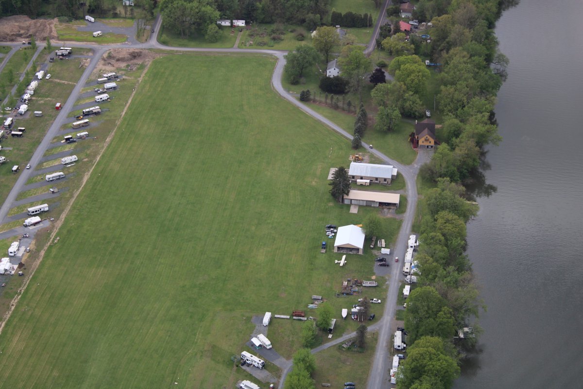
| Before heading down the West Branch, I had to check out Sunbury Island which is in the Susquehanna River. Why? Because it has a nice grass runway airport. |
| |
 |
|
| Not much activity at Sunbury on this nice day. What's the deal with all the trailer homes on each side of the runway? |
| |
 |
|
|
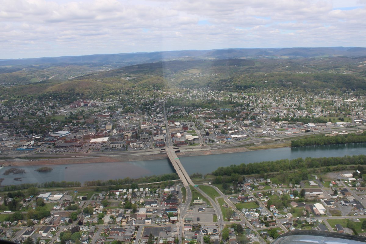
Looking north up the West Branch of the Susquehanna River. The town of Northumberland is on the right.
|
| |
 |
|
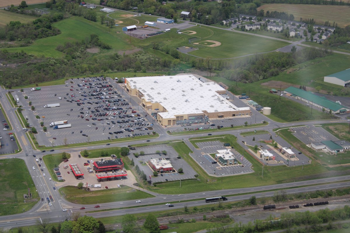
| Passing by a big Walmart Supercenter. Clearly not shut down. But the nearby Applebees and Perkins parking lots are deserted. |
| |
 |
|
|
The West Branch makes a left turn to the west at the town of Williamsport. They have a towered airport. I gave them a call about 15 miles out, telling them I was following the river and asking if I could transition through their airspace. They said, sure, just call us when you come around the end of a big ridge.
Here is the big ridge. The airport is visible a few miles away on the right.
|
| |
 |
|
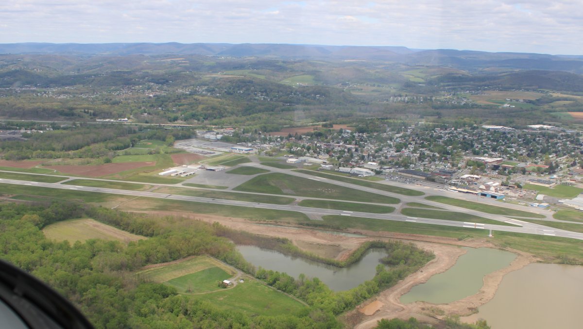
| Passing by Williamsport Airport. Never landed here. |
| |
 |
|
|
Passing by the town of Williamsport. Williamsport's claim to fame is that it is the birthplace of Little League Baseball. South Williamsport, a town nearby, is the headquarters of Little League Baseball and annually hosts the Little League World Series in late summer.
Other points of interest in Williamsport include the Hiawatha riverboat, Millionaires' Row, Peter J. McGovern Little League Museum, the Community Arts Center, the Genetti Hotel, the Susquehanna Riverwalk and The Gallery at Penn College.
|
| |
 |
|
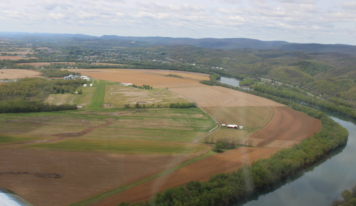
| A nice public grass runway airport named Jersey Shore (P96) sits in the bend of the West Branch. |
| |
 |
|
|
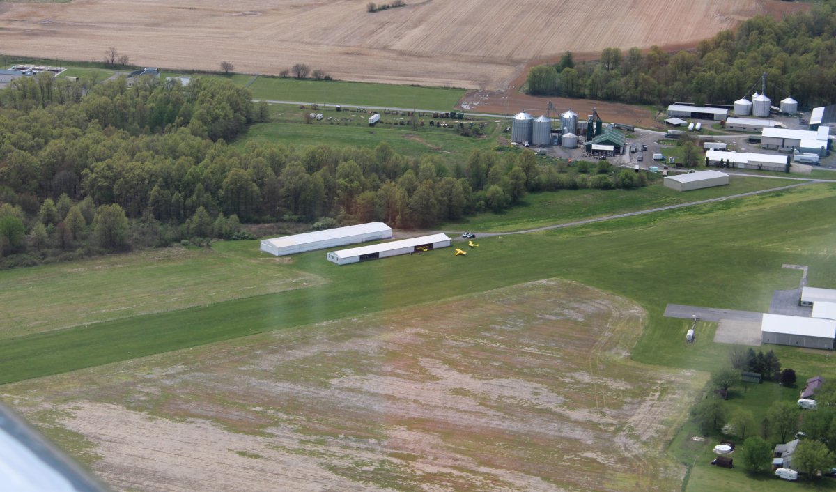
A closer look. I should have done a touch and go here.
|
| |
 |
|
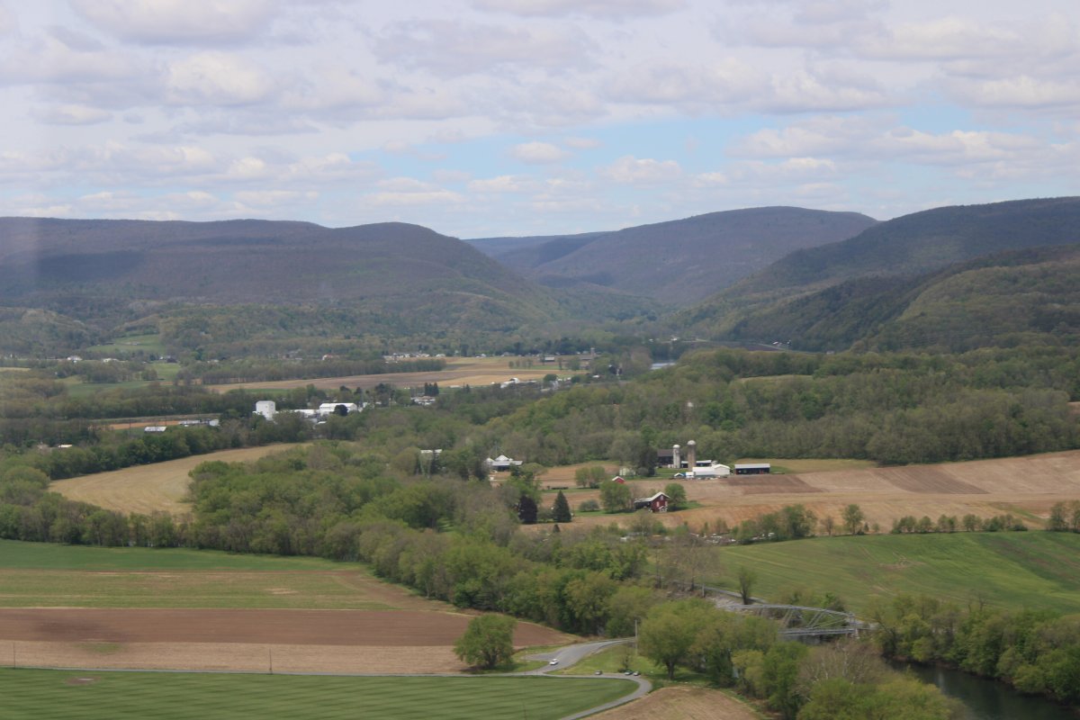
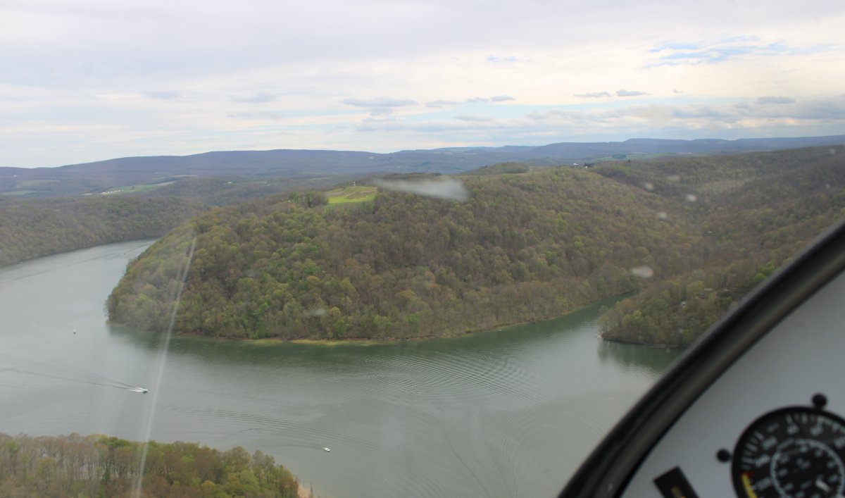
| Continuing up the West Branch, around the town of Avis, I look north at the entrance to the Pennsylvania Grand Canyon which I know well. |
| |
 |
|
|
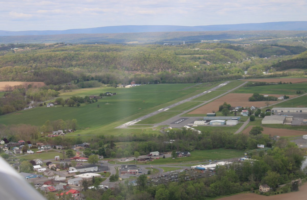
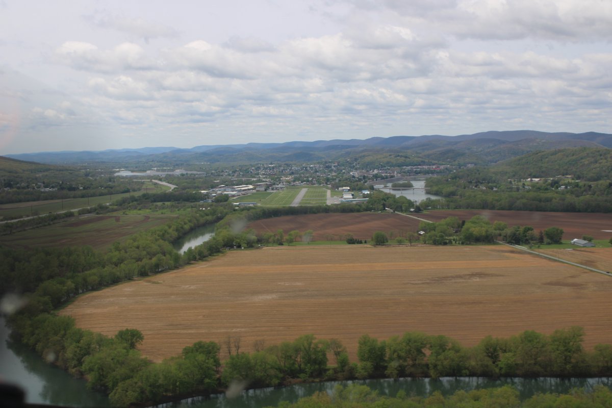
Soon, dead ahead, is Piper Memorial Airport (KLHV), famous as the home of Piper Aircraft Corporation. The town of Loch Haven is on the other side of the airport.
|
| |
 |
|
| Notice the beautiful grass runway to the left of the main asphalt runway. They host the annual "Sentimental Journey to Cub Haven" fly-in here. Bruce and I attended Sentimental Journey in the Citabria back in 2007. Great fly-in. Link. |
| |
 |
|
|
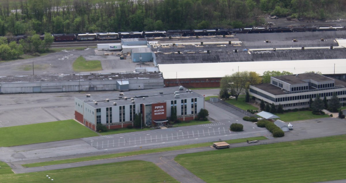
I believe the Piper Aircraft Corporation operated from here from 1937 to 1947, producing the famous J-3 Cub. Down below is the Piper Aviation Museum which preserves the history and legacy of the Piper Aircraft Corporation.
|
| |
 |
|
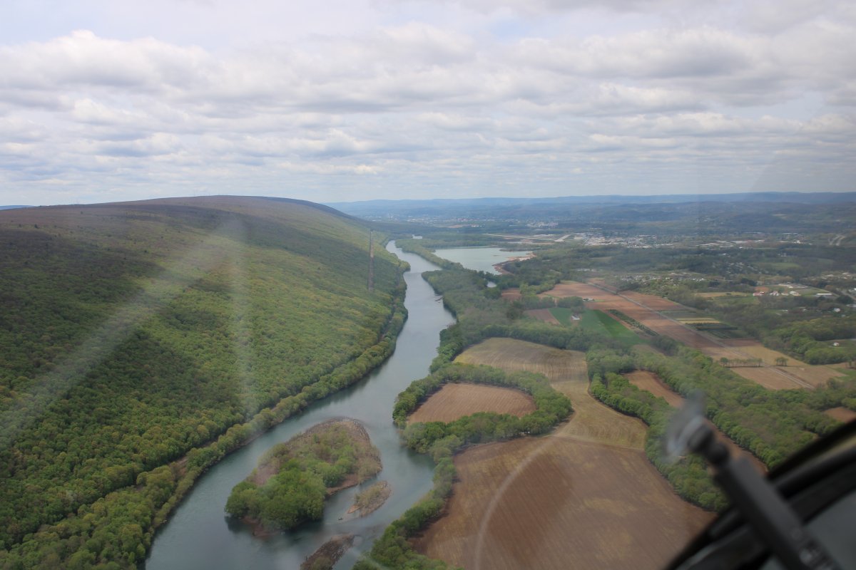
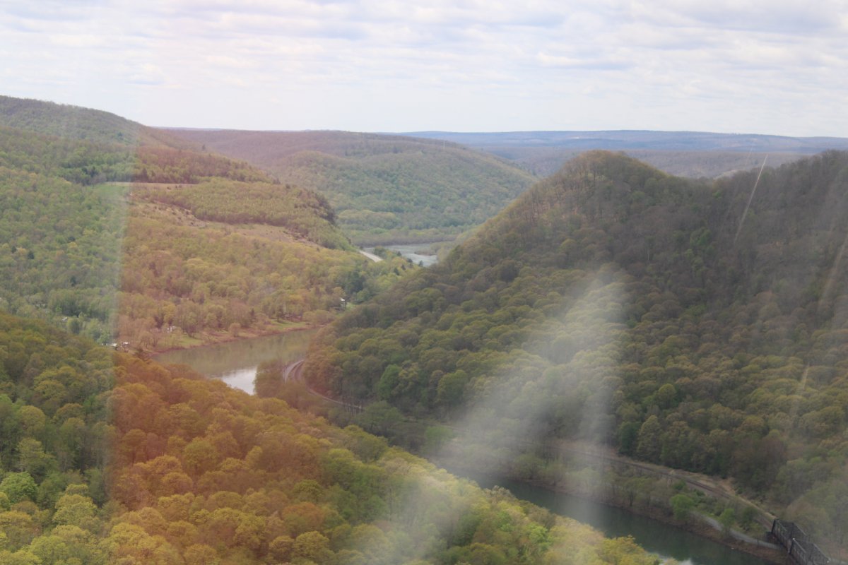
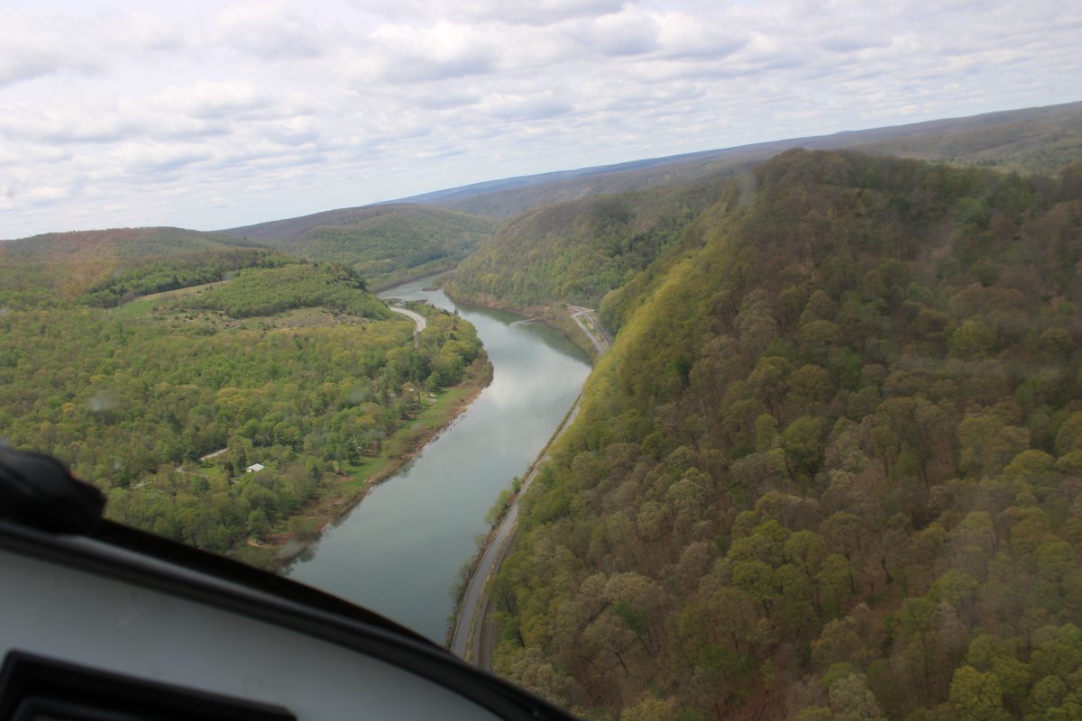
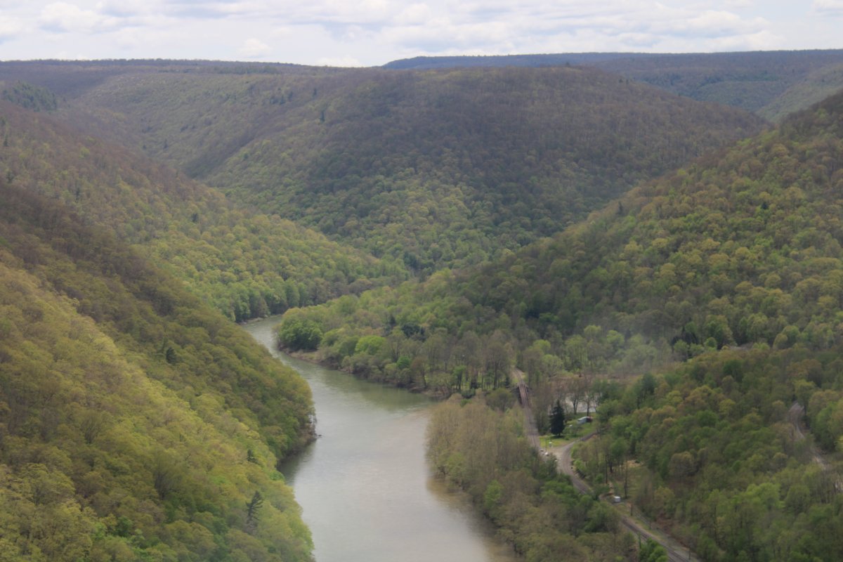
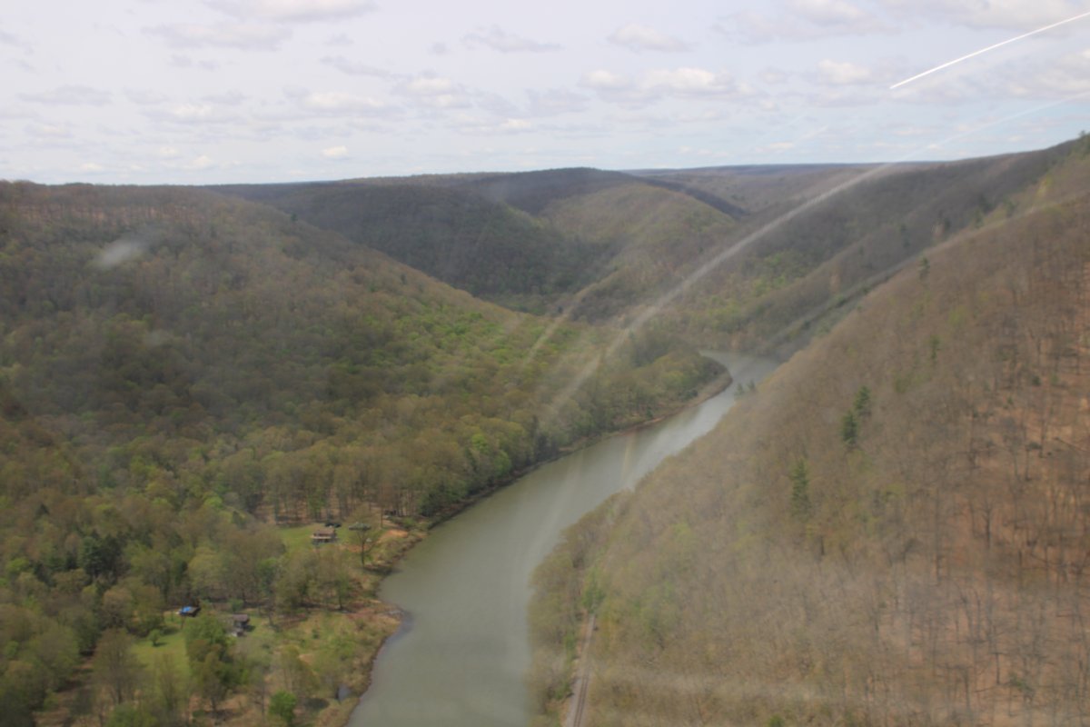
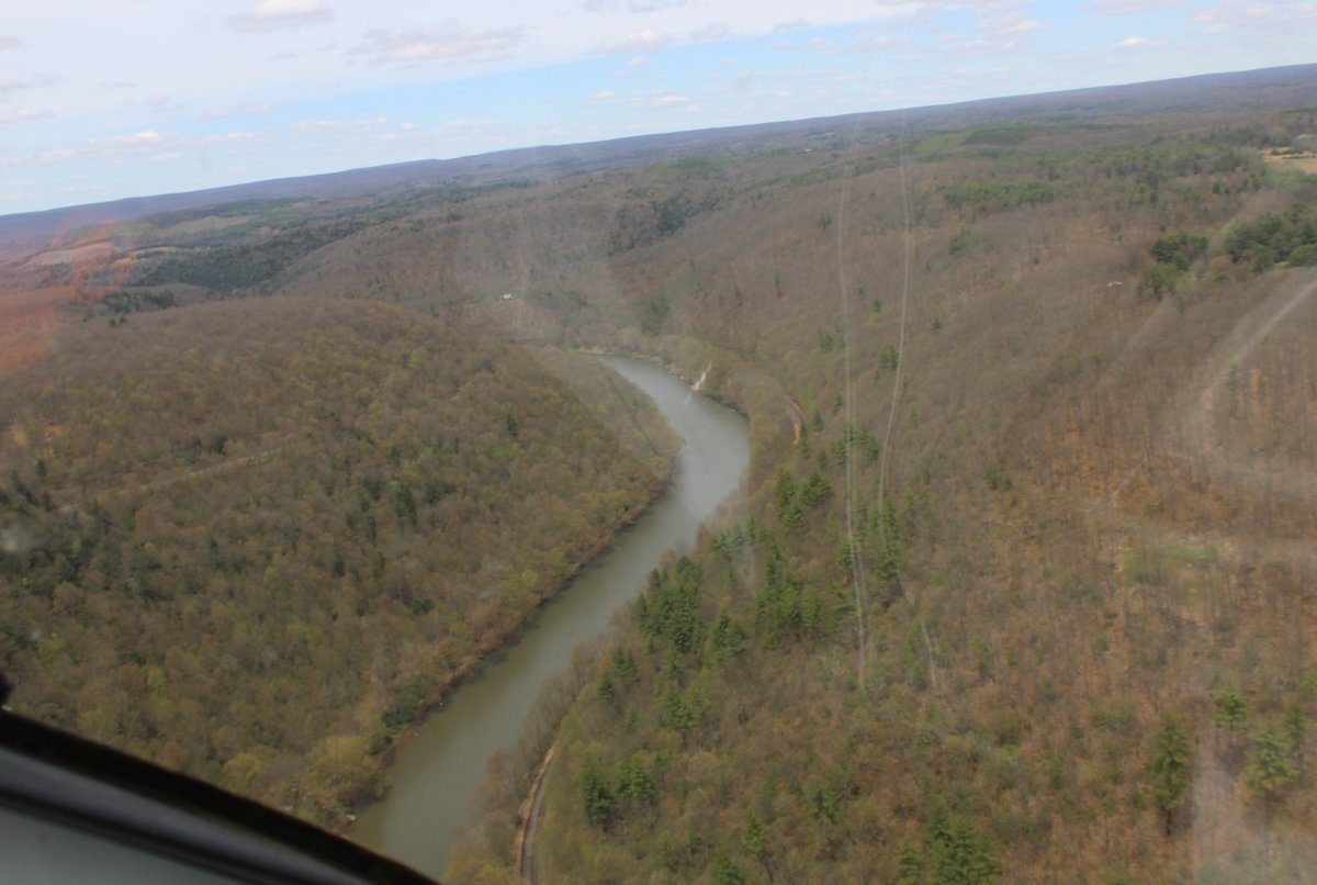
| On the outskirts of Loch Haven, the West Branch turns northwest into the tree-covered hills. |
| |
 |
|
| It was very similar to the Pennsylvania Grand Canyon although the hills weren't as high. |
| |
 |
|
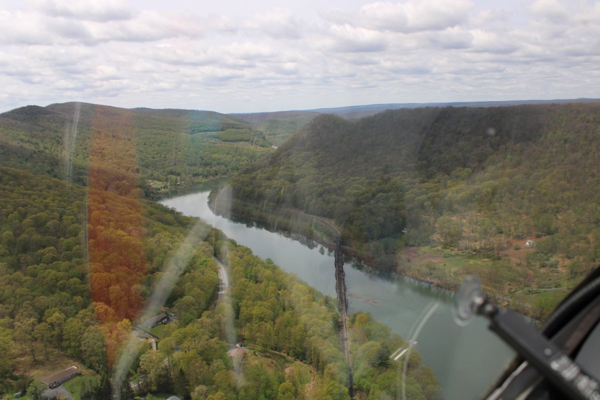
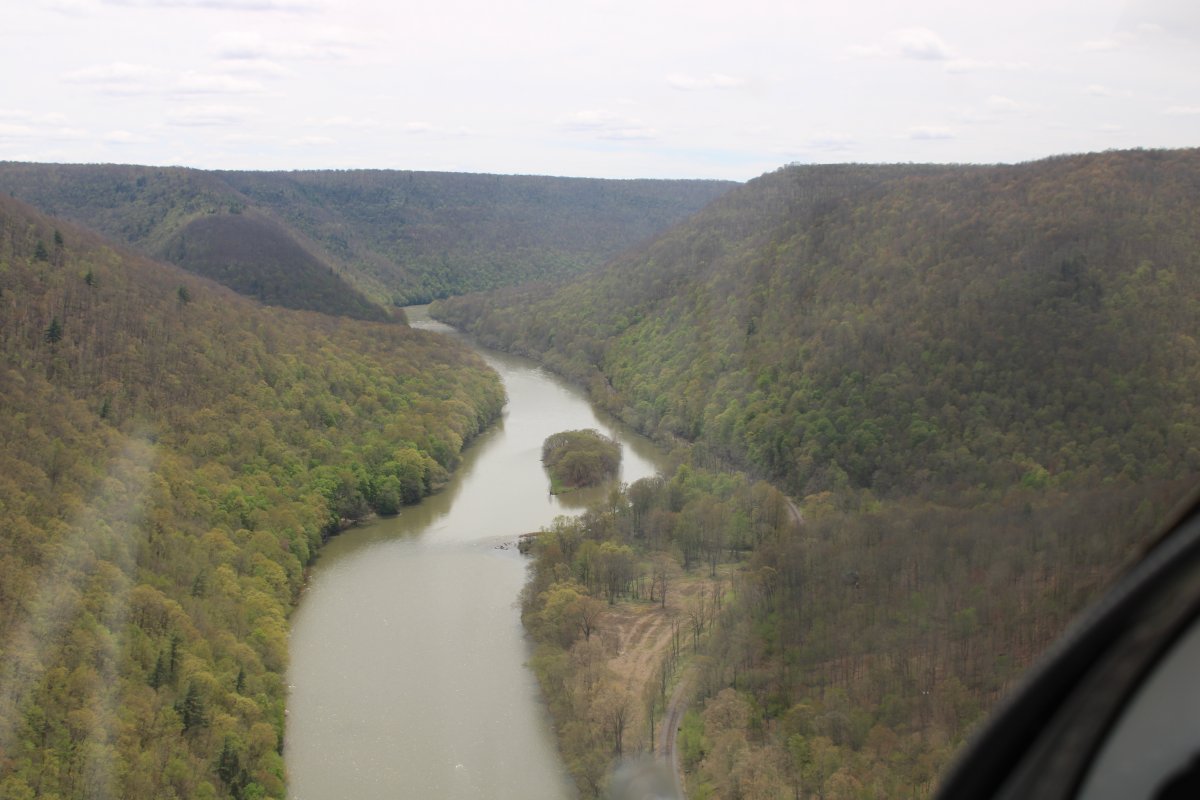
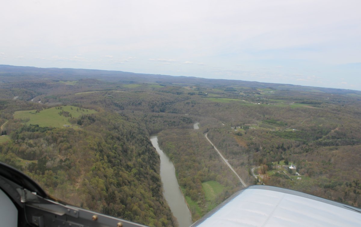
| Very sparsely inhabited. A road and a railroad followed the river on each side. |
| |
 |
|
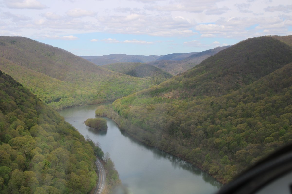
| Pretty country. |
| |
 |
|
|
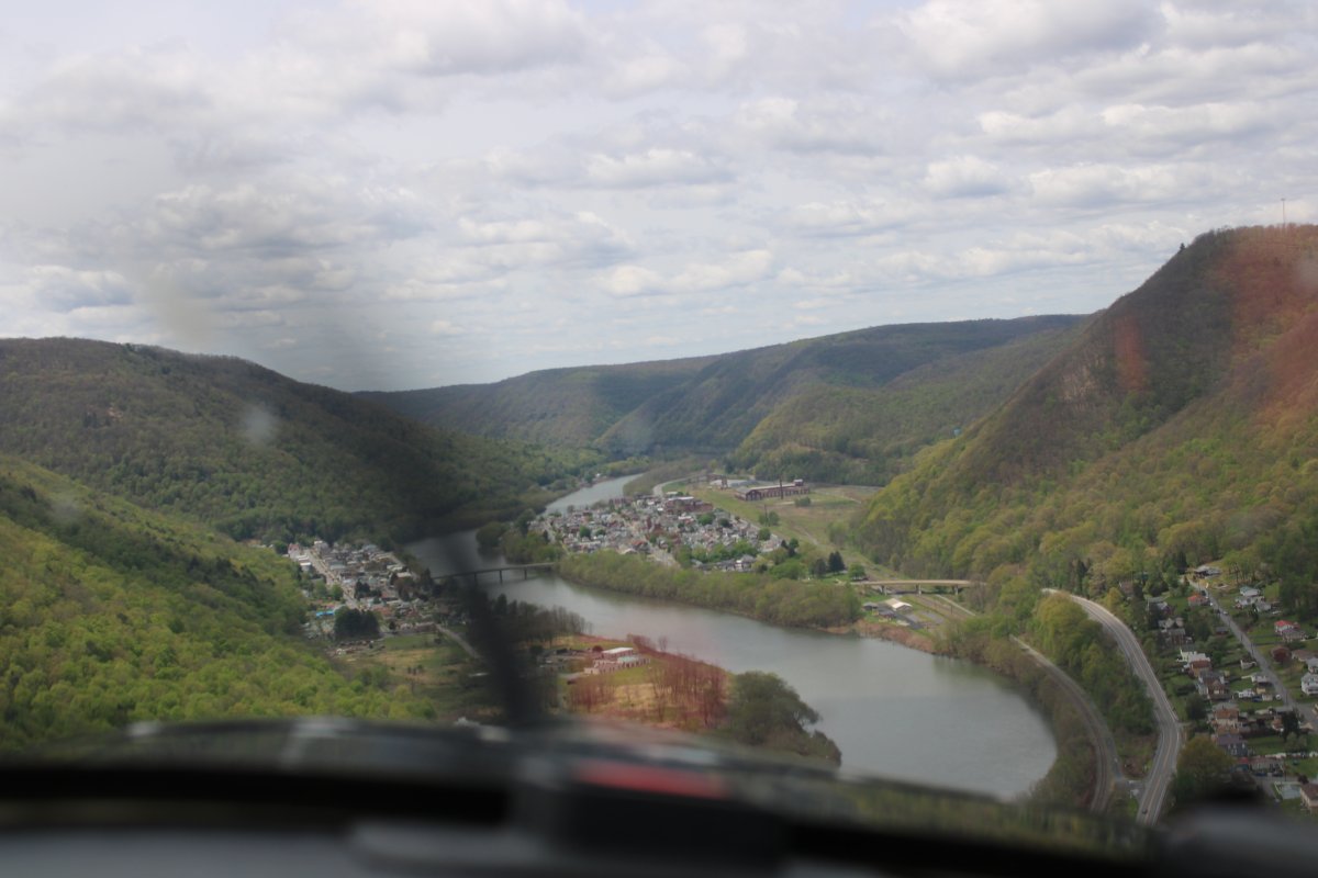
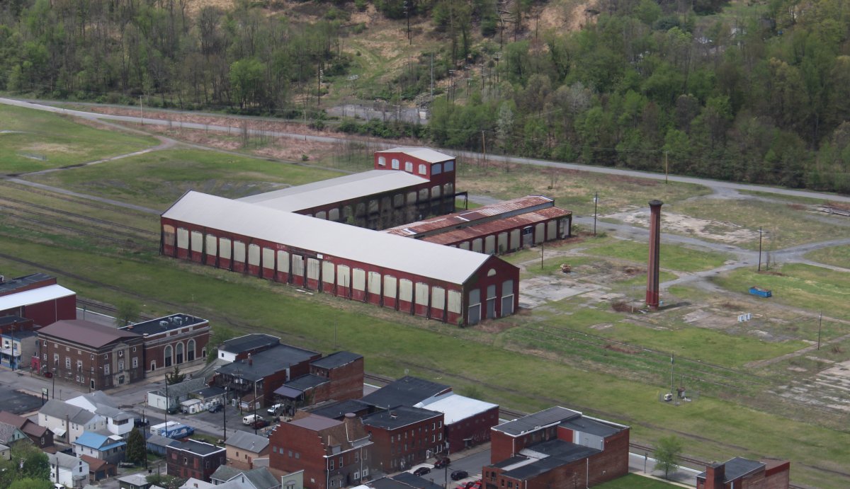
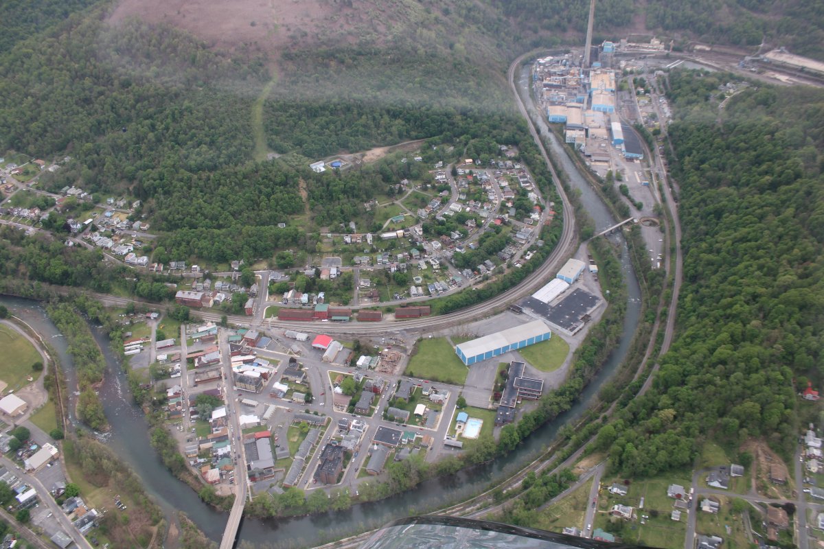
Approaching the little town of Renovo on the right and South Renovo on the left. Population 1,200 or so. It was once around 5,000
|
| |
 |
|
|
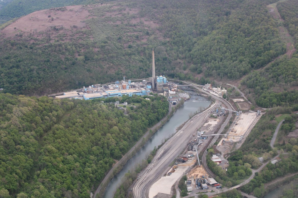
Renovo's major employer was the Pennsylvania Railroad and Pennsylvania Railroad Shops. As long as the railroad prospered, the town was a bustling center of activity. Some aspects of railroad business began to decrease as early as before World War II, but business surged back strongly during the War. However, further decline in demand for both passenger and freight transportation via the railroad came with the building of the St. Lawrence Seaway, the building of the Interstate Highway System, the surge of automobile ownership and use, and the consolidation of the Pennsylvania Railroad's Shop facilities to other locations such as Pittsburgh and Altoona.
The closing of the shops in the 1960s tolled the death knell for Renovo as an enterprising town with a future.
|
| |
 |
|
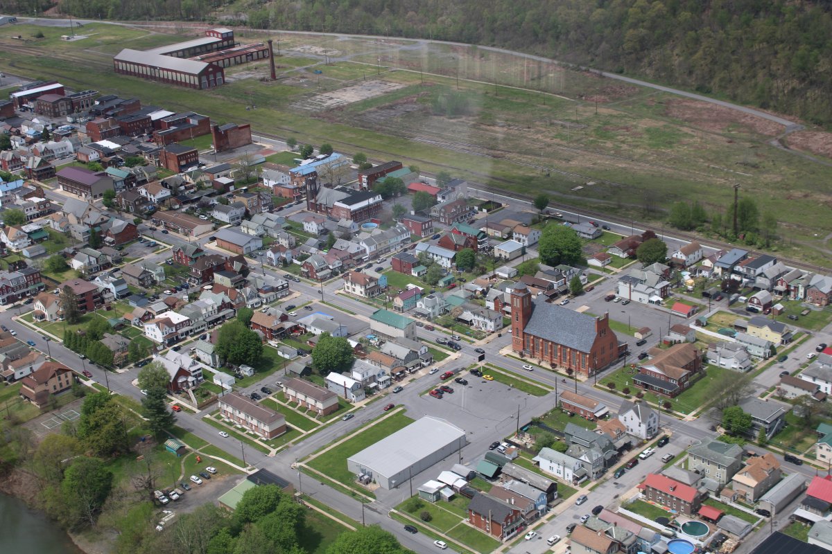
| A close-up of what must be the old railroad shop. |
| |
 |
|
| Continuing on into the hills. |
| |
 |
|
|
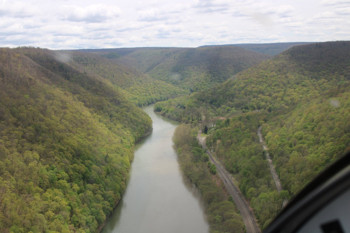
The railroad is clearly visible in this shot.
|
| |
 |
|
| Sinnemahoning Creek branches off to the west as the West Branch heads south. |
| |
 |
|
|
Not much out here now. The railroad is still down there though.
|
| |
 |
|
| |
| |
 |
|
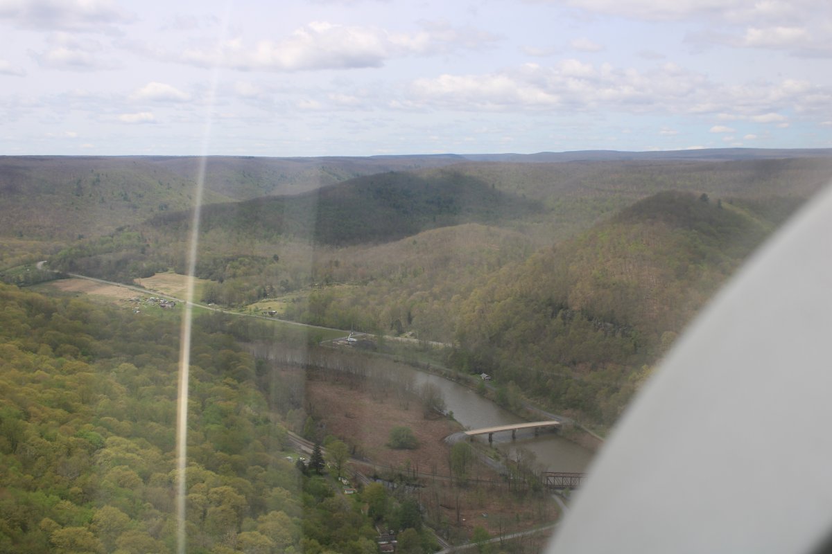
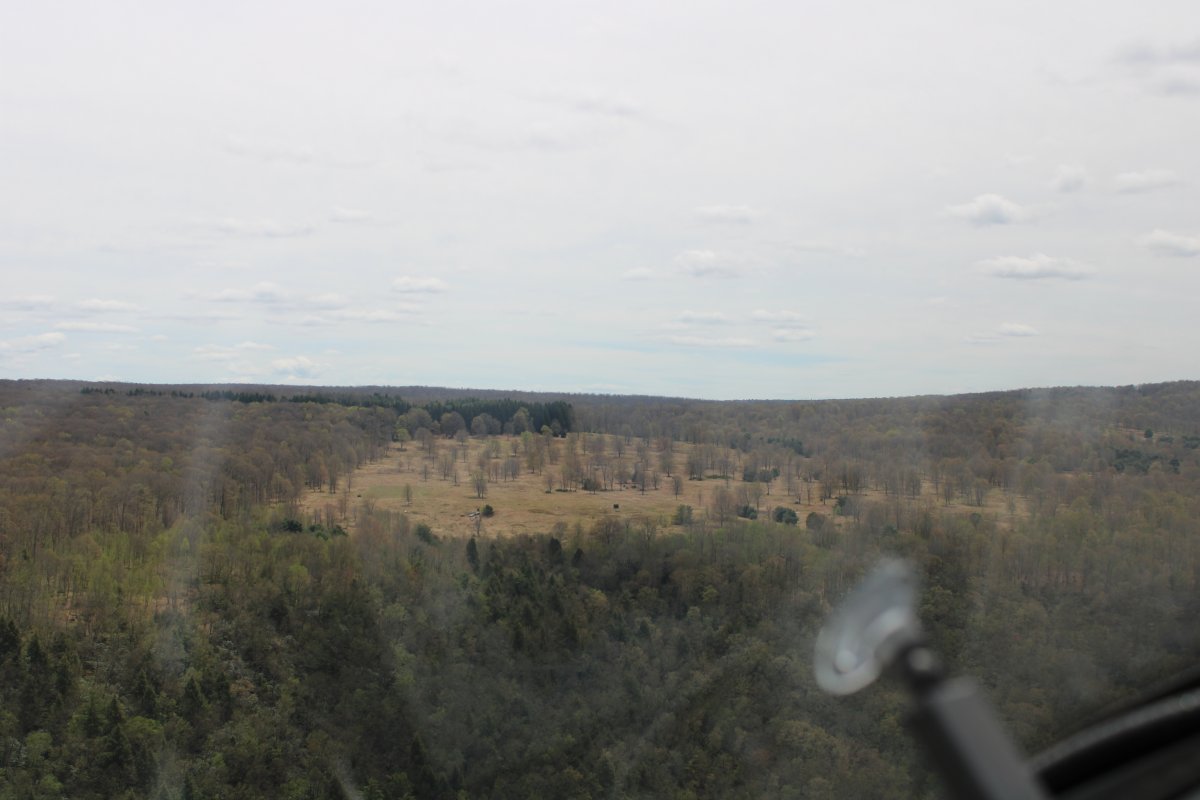
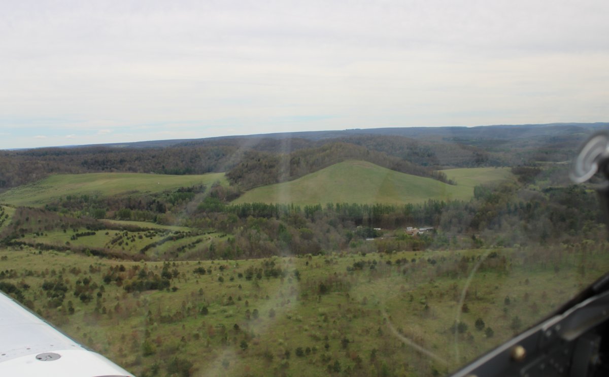
| Passing a relatively clear plateau. |
| |
 |
|
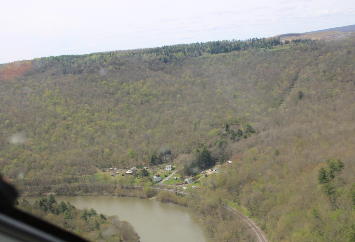
| A few houses alongside the river. Very remote. |
| |
 |
|
|
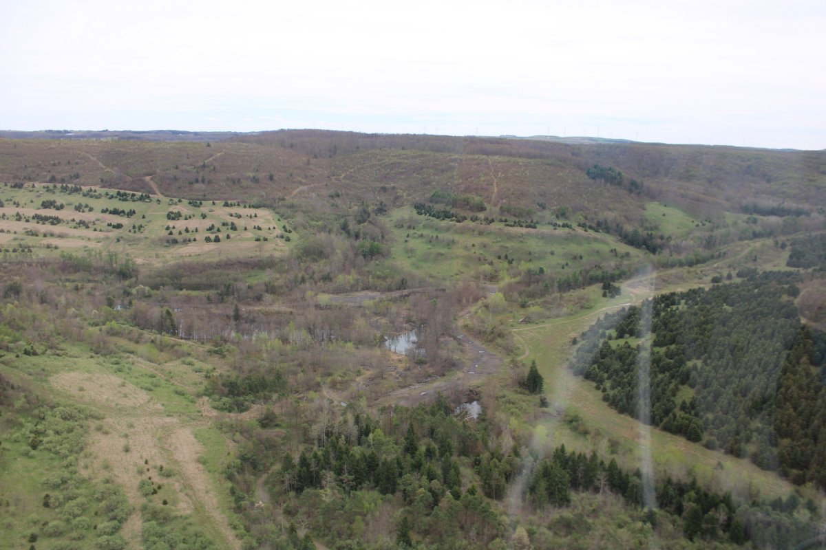
I'm starting to come out of the hills.
|
| |
 |
|
|
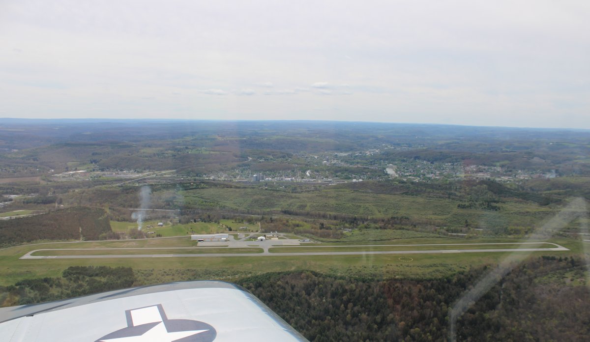
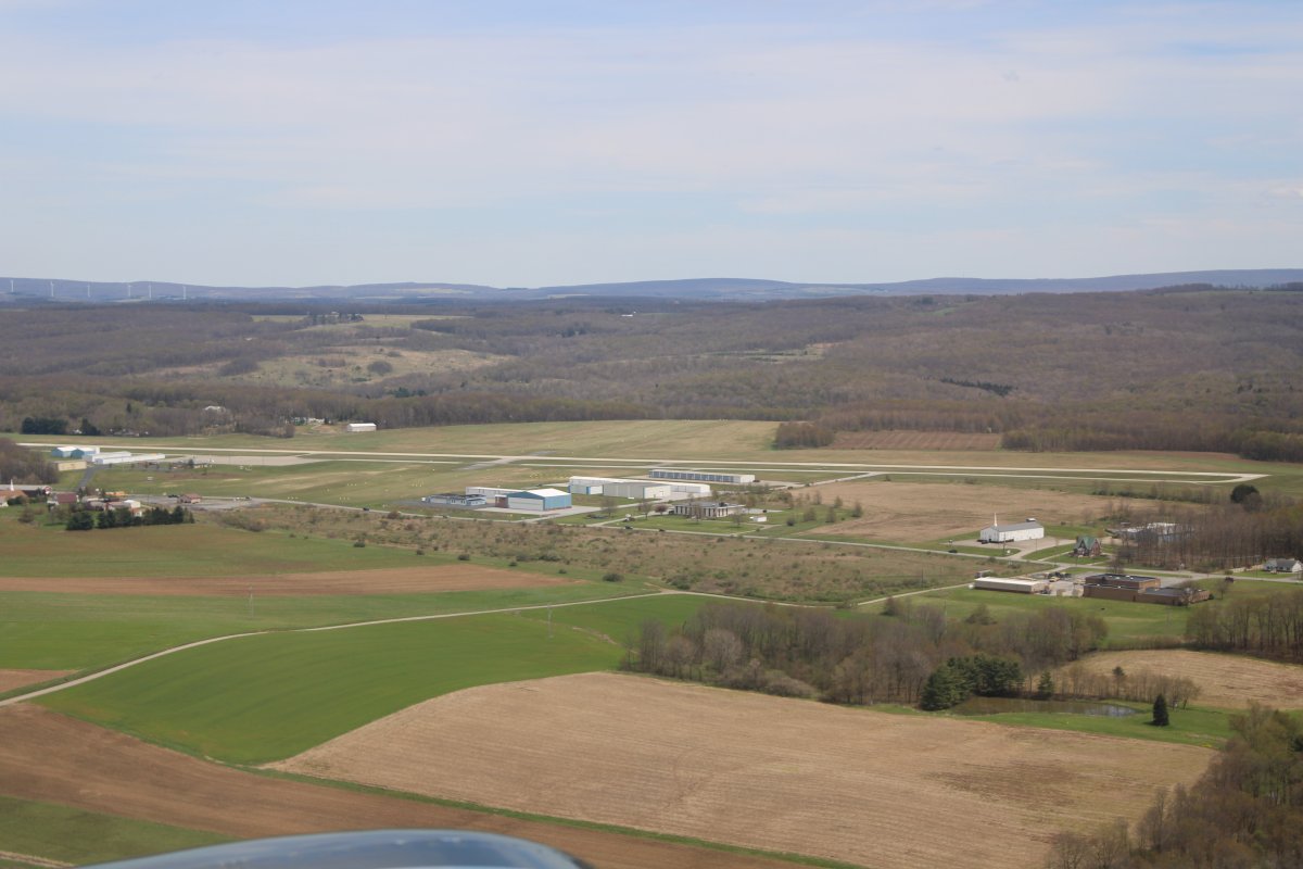
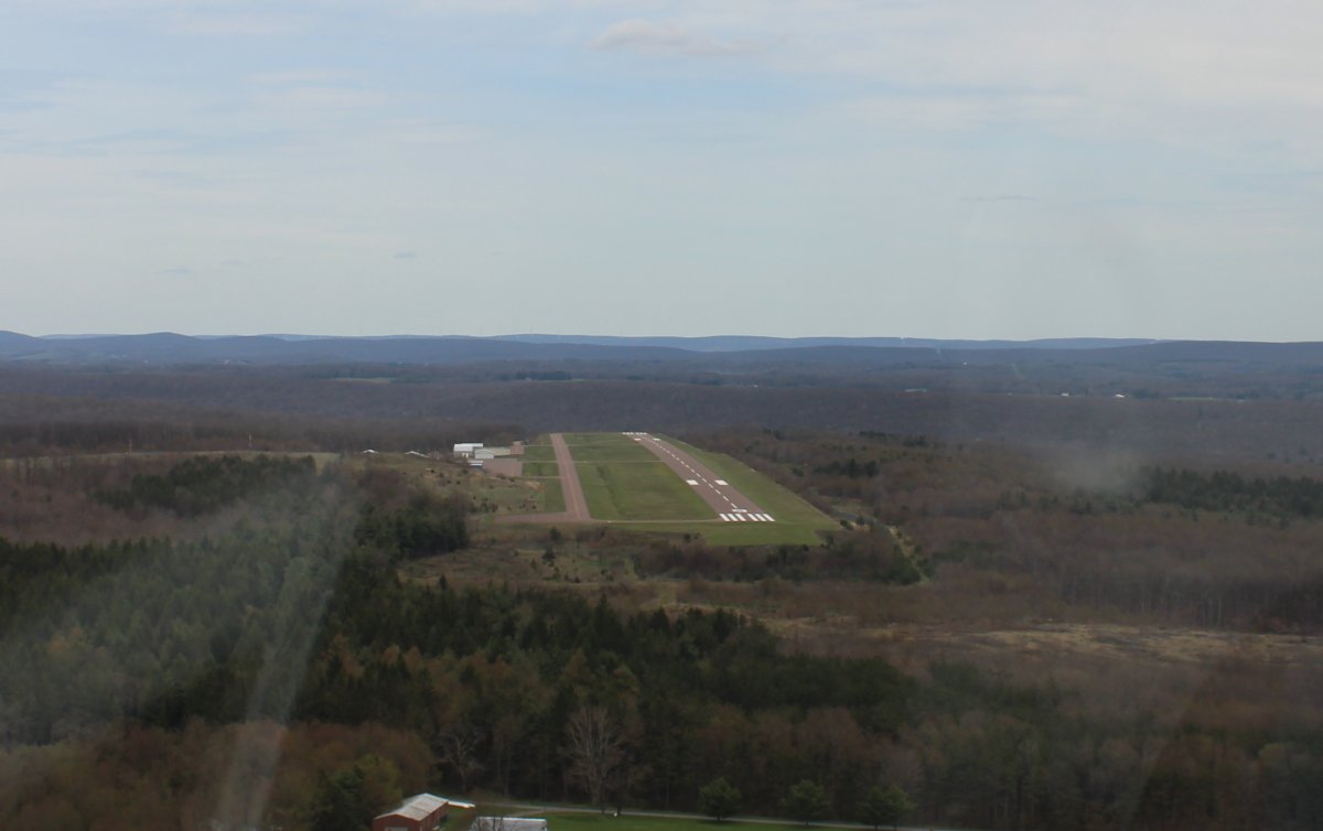
I noticed that an airport was a mile to the west. I was tired, so I decided to stop and stretch my legs. Here I'm on left downwind for runway 12 at Clearfield-Lawrence Airport (KFIG).
They had a nice terminal and the airport manager and some locals were friendly. They gave me good advice on nearby airports to fly into for food.
The town of Clearfield is visible in the distance. Interstate 80 runs through Clearfield.
|
| |
 |
|
|
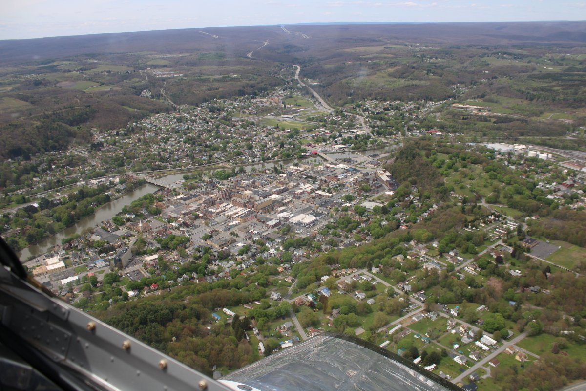
Passing over the good size town of Clearfield, Pennsylvania.
|
| |
 |
|
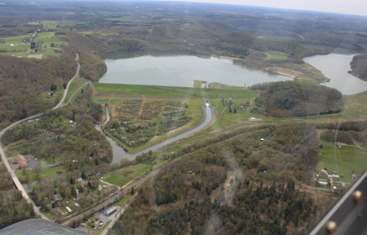
| Here the West Branch is dammed up forming Curwensville Lake and recreation area. |
| |
 |
|
| The West Branch really took a hit from that dam. |
| |
 |
|
|
The West Branch was petering out so I decided to leave the river and head south for Deep Creek Lake in western Maryland.
Now I'm going cross-country.
|
| |
 |
|
|
Typical scenery in this part of Pennsylvania.
|
| |
 |
|
| Not sure what town this is, or even what river. |
| |
 |
|
|
But I recognized this airport. It's Somerset County Airport (2G9) where I've landed a couple of times over the years.
|
| |
 |
|
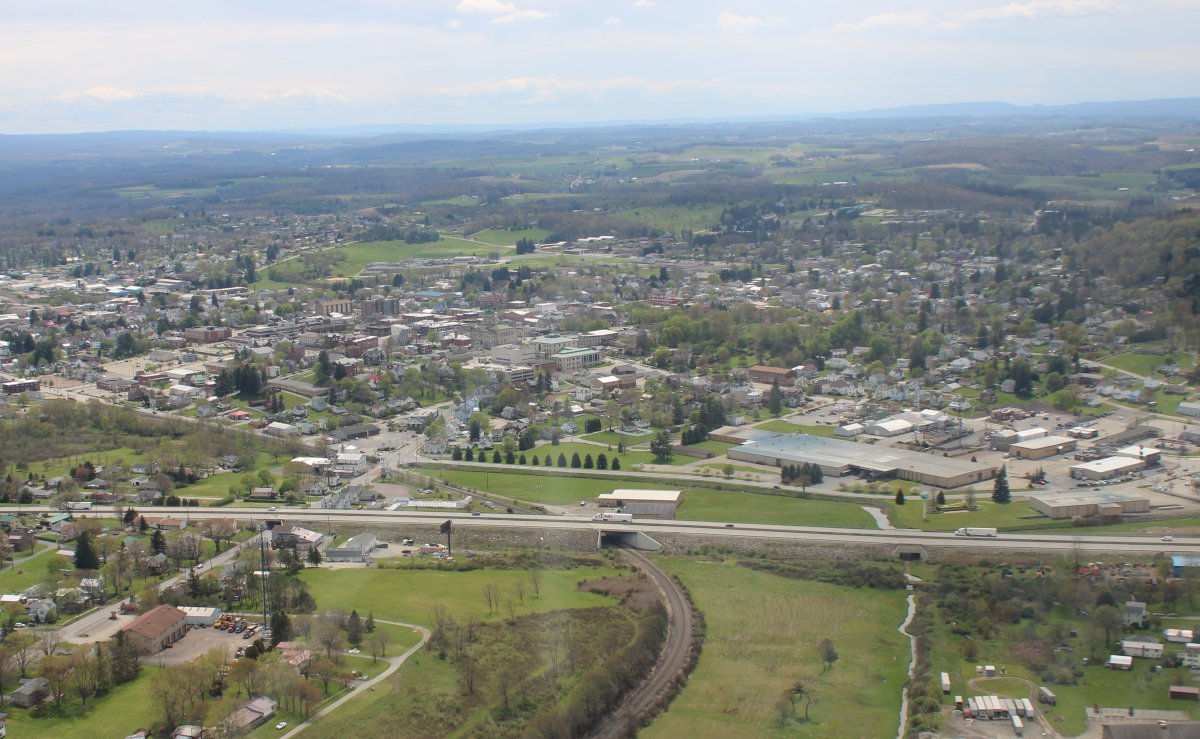
| The town of Somerset which sits on Interstate 76. When you go from Baltimore to Pittsburgh you come through here. |
| |
 |
|
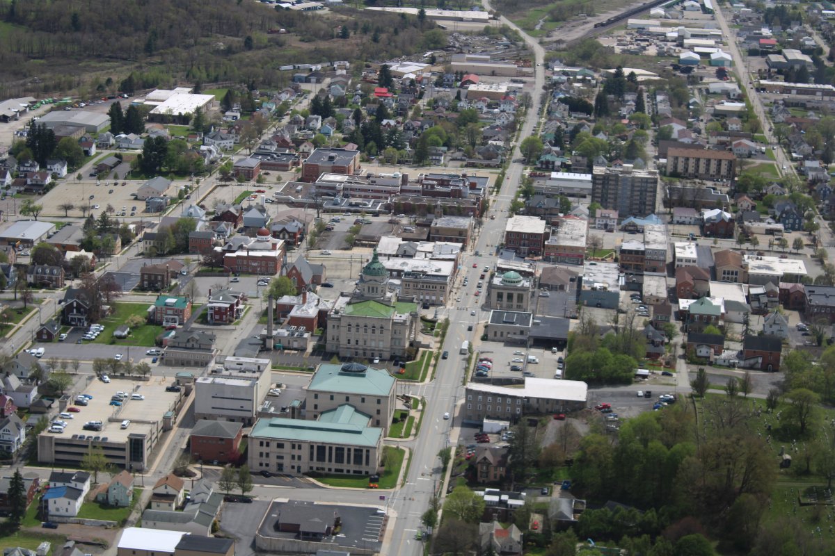
| A close-up of downtown Somerset. |
| |
 |
|
| I was heading to Deep Creek Lake in western Maryland but first I came across Youghiogheny River Lake in Pennsylvania. |
| |
 |
|
|
|
| |
 |
|
| |
| |
 |
|
|
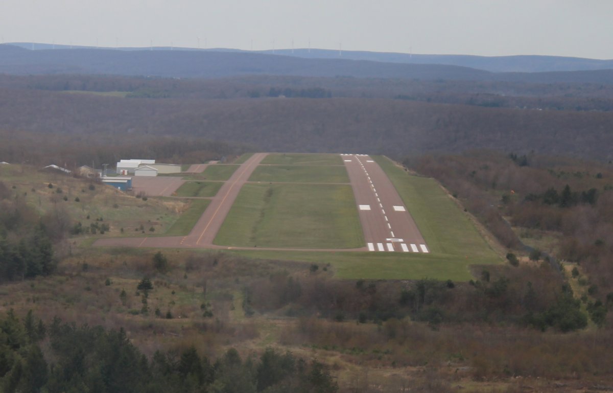
Before checking out Deep Creek Lake, I stopped at Garrett County Airport (2G4) which is just north of the lake. I had never landed here before.
|
| |
 |
|
|
It's unusual to see a runway slope like this at each end.
Garrett County had a very nice FBO building. I talked with the airport manager some, got some gas, then continued on.
|
| |
 |
|
|
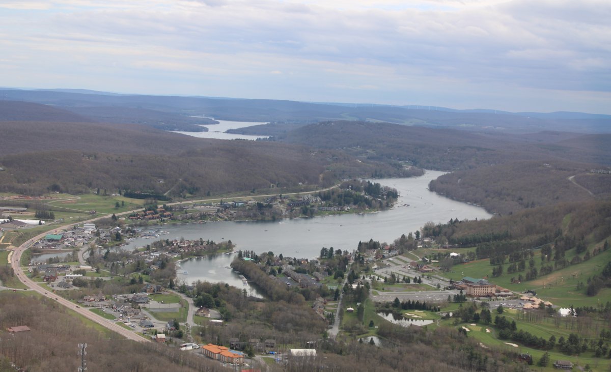
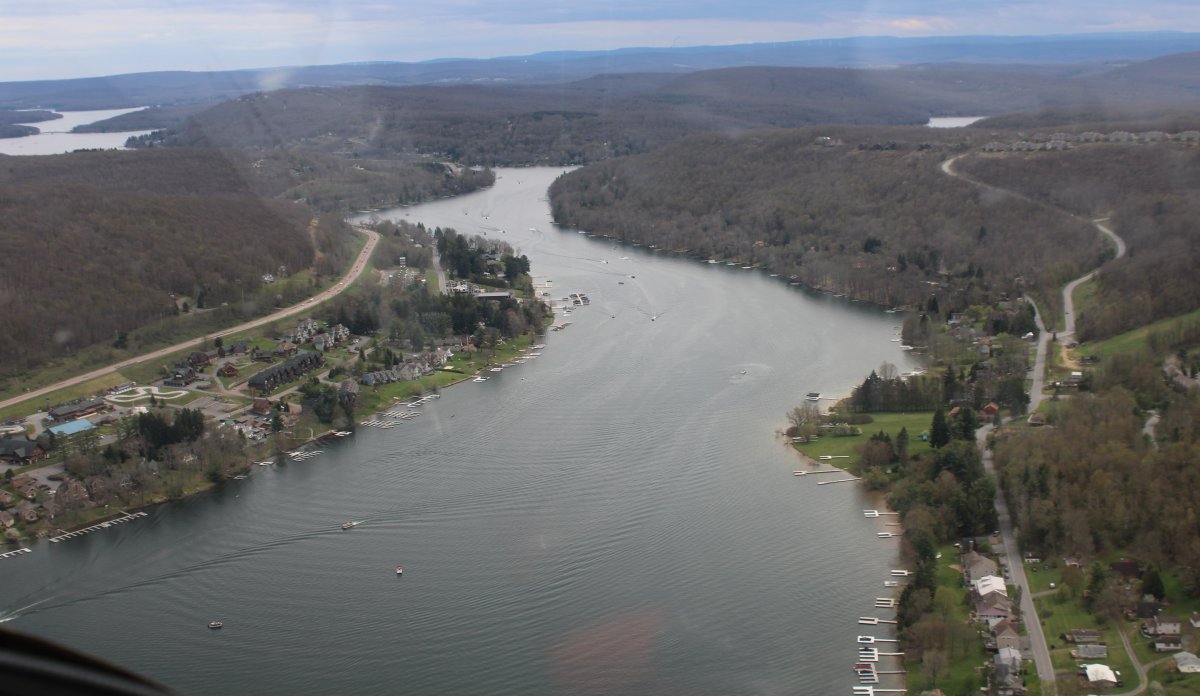
Deep Creek Lake runs north to south, sort of. Here I'm approaching the north end.
Deep Creep Lake is a popular vacation spot. We had a big family vacation here back in 2002 or so. It was a lot of fun. We rented a house on the water for a week and a boat each day. There's a lot to do: boat, swim, waterski, tube, hike, horseback ride, eat out, etc. We're going to do another family vacation here in August so I wanted to check it out from the air.
|
| |
 |
|
| Cruising down the lake. |
| |
 |
|
|
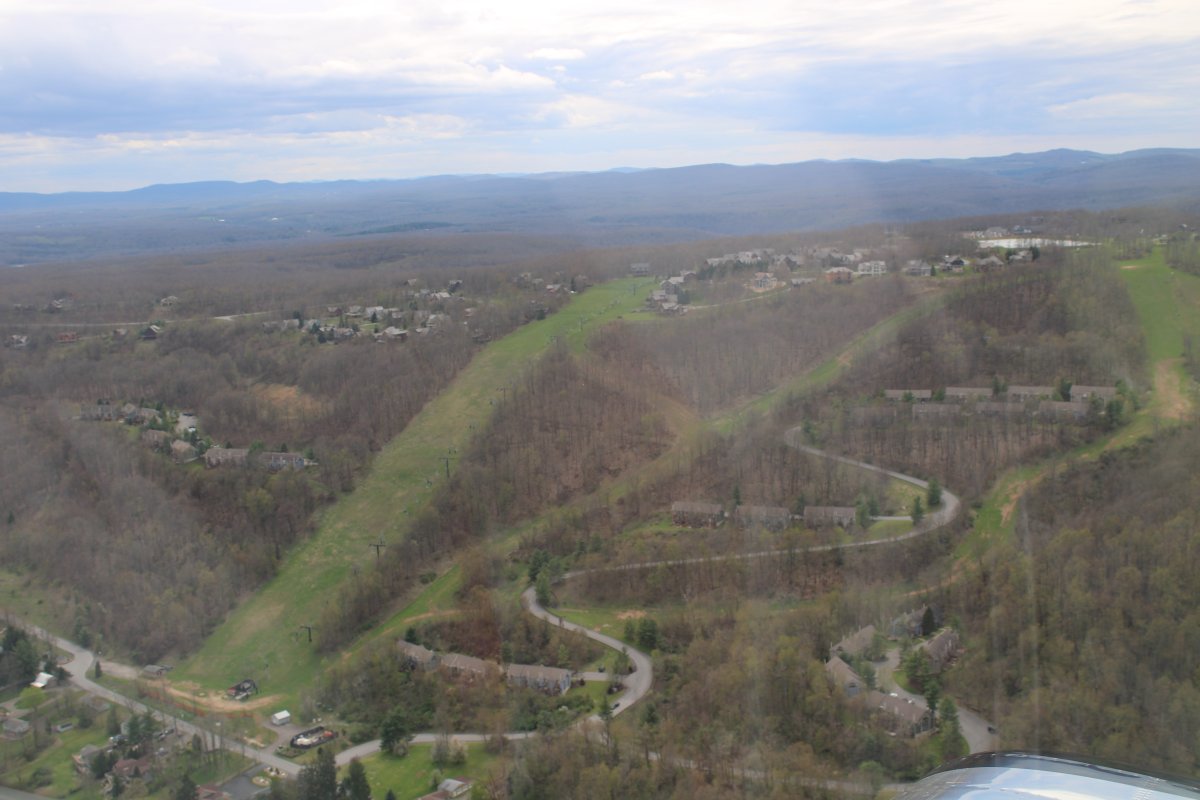
Passing by the Wisp ski resort which is at the north end.
|
| |
 |
|
|
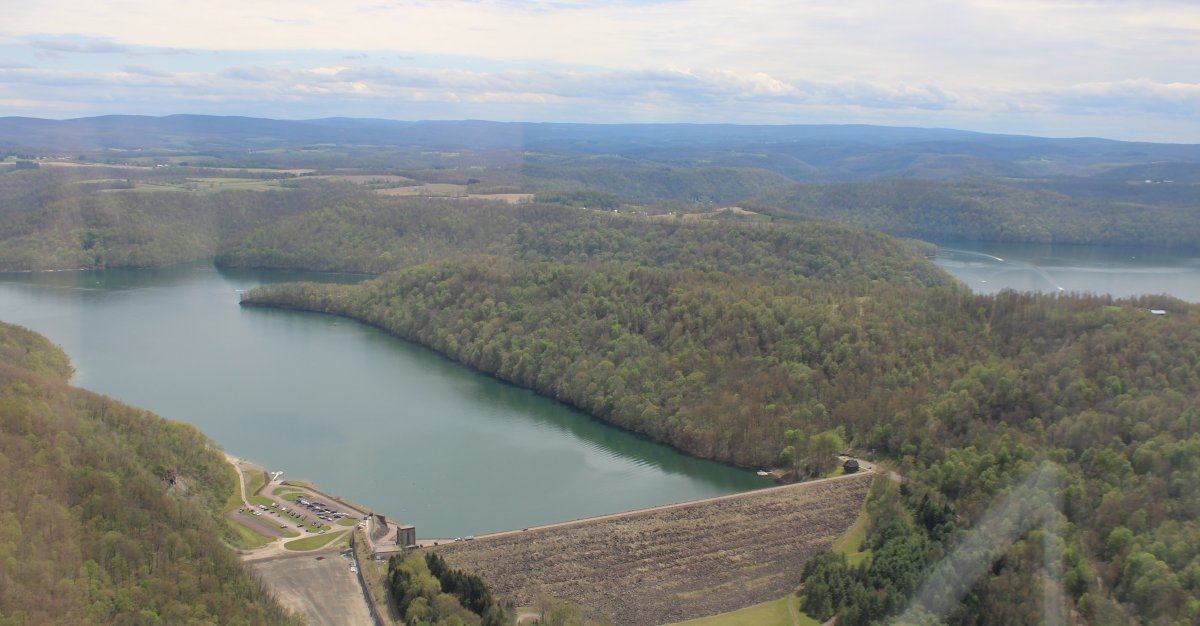
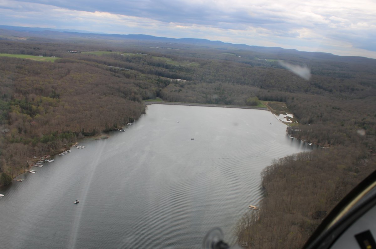
Deep Creek Lake is the largest inland body of water in the state of Maryland. It covers approximately 3,900 acres and has 69 miles of shoreline. Like all lakes in Maryland, it is man-made.
The lake is a result of the Youghiogheny Hydroelectric Company hydroelectric project on Deep Creek in the 1920s. Deep Creek Dam, located about 8 miles north of Oakland, Maryland, consists of an earth and rock wall dam across a tributary of the Youghiogheny River. Construction of the dam began in 1923 and was completed in 1925. The hydroelectric plant became operational in 1925. The lake was purchased by the U.S. state of Maryland in 2000 from the Pennsylvania Electric Company and public access to the lake is provided by Deep Creek Lake State Park.
|
| |
 |
|
|
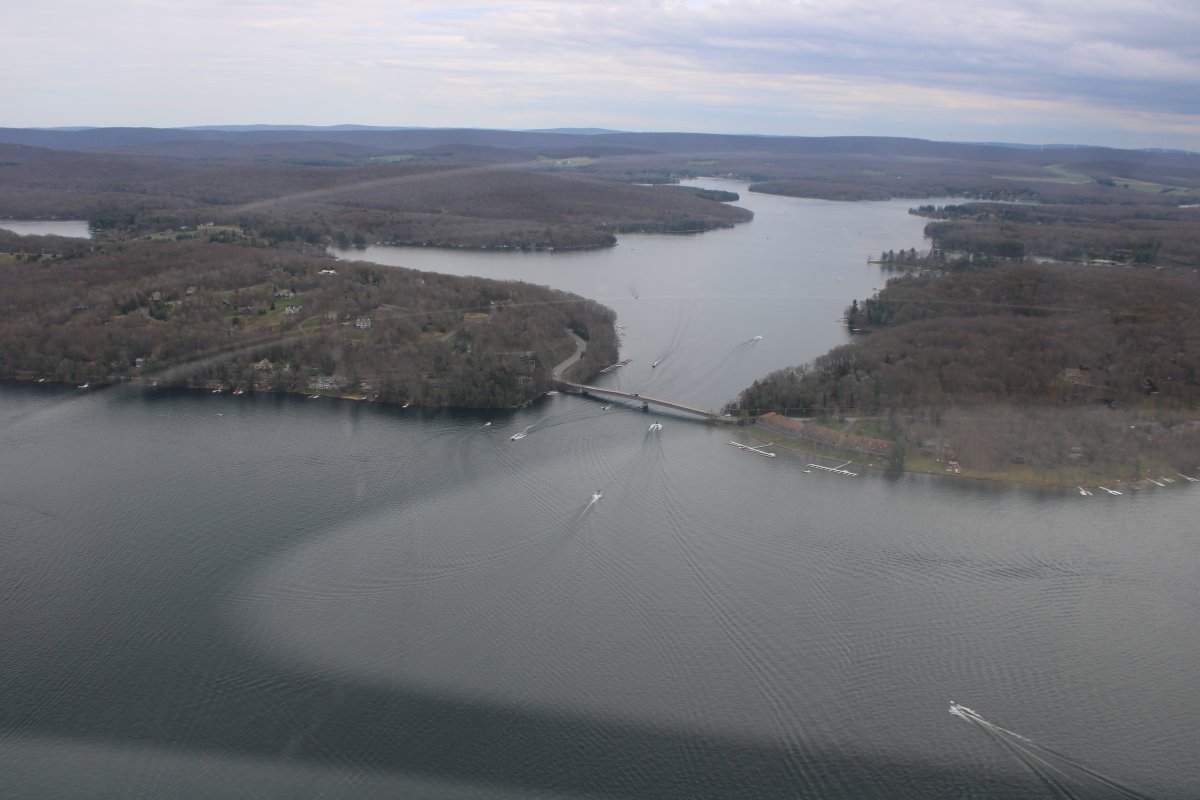
Approaching Deep Creek Dam.
|
| |
 |
|
|
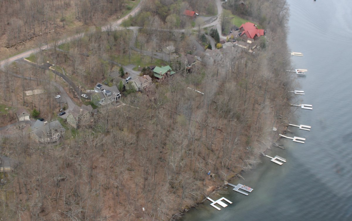
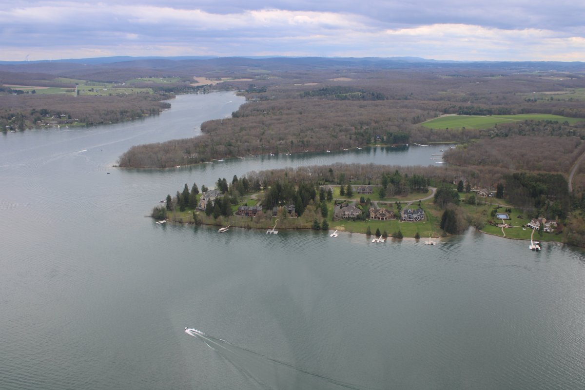
Lots of nice houses overlooking the water.
|
| |
 |
|
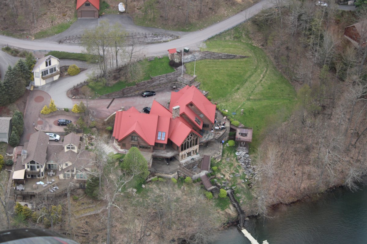
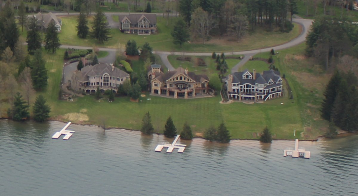
| A REALLY nice house overlooking the water. |
| |
 |
|
| |
| |
 |
|
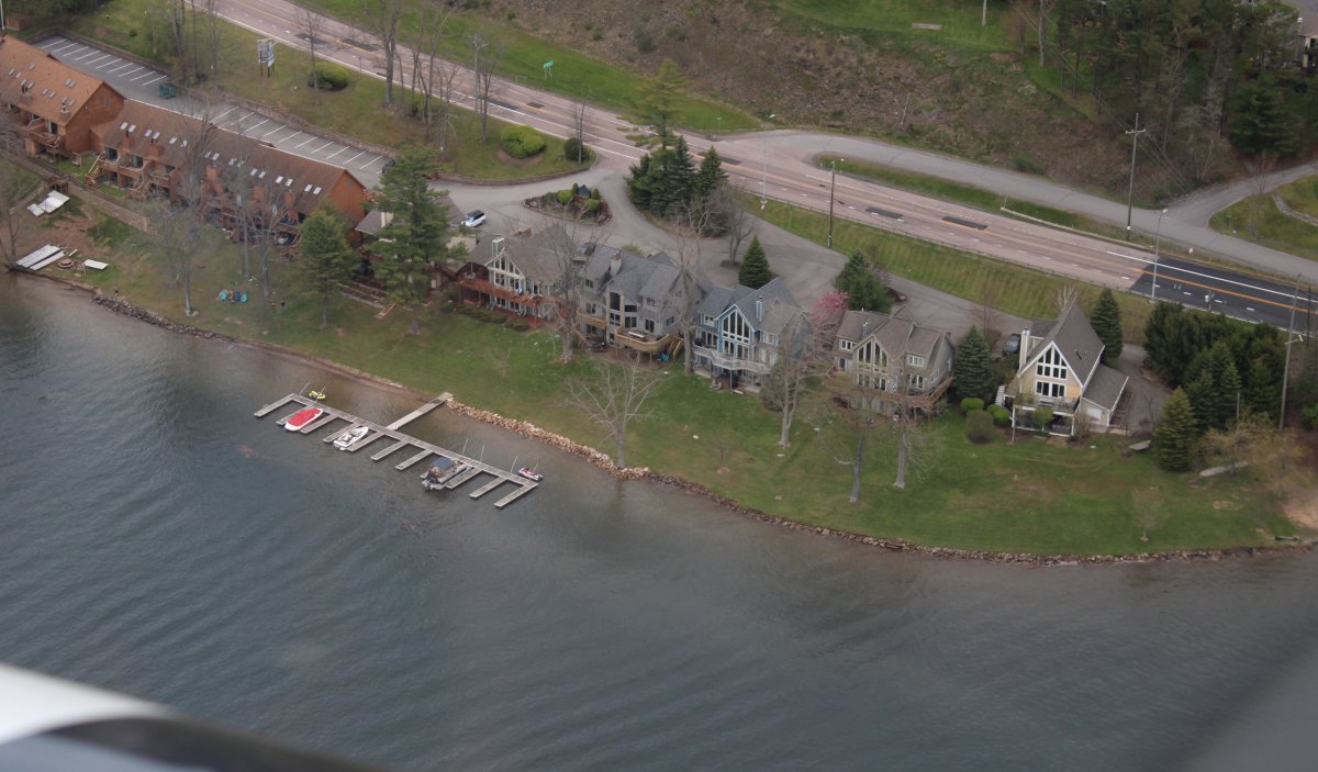
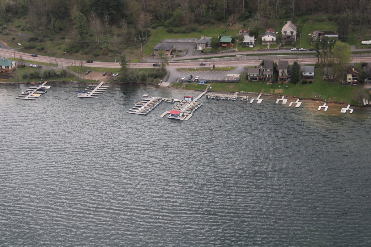
| Back in 2002, I think we rented the boats from that place on the right. |
| |
 |
|
|
A closer look at the boat rental place. Or maybe not.
|
| |
 |
|
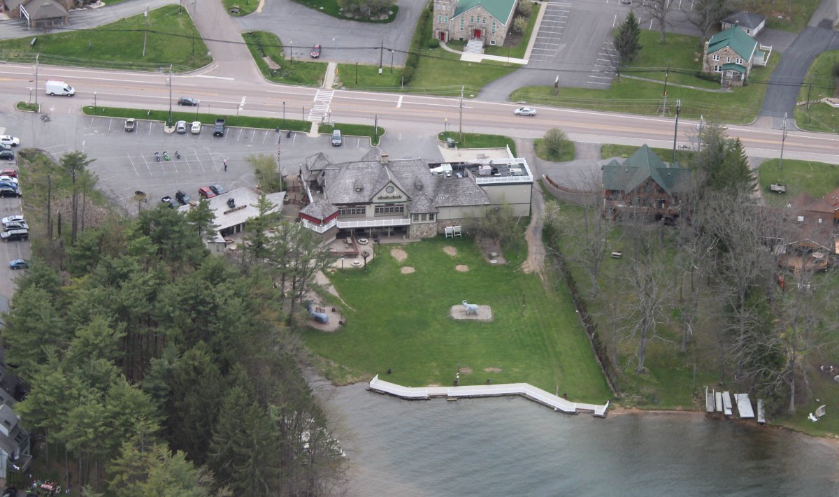
| I definately remember this place. The Honi Honi Bar! With a big elephant on the grass. |
| |
 |
|
|
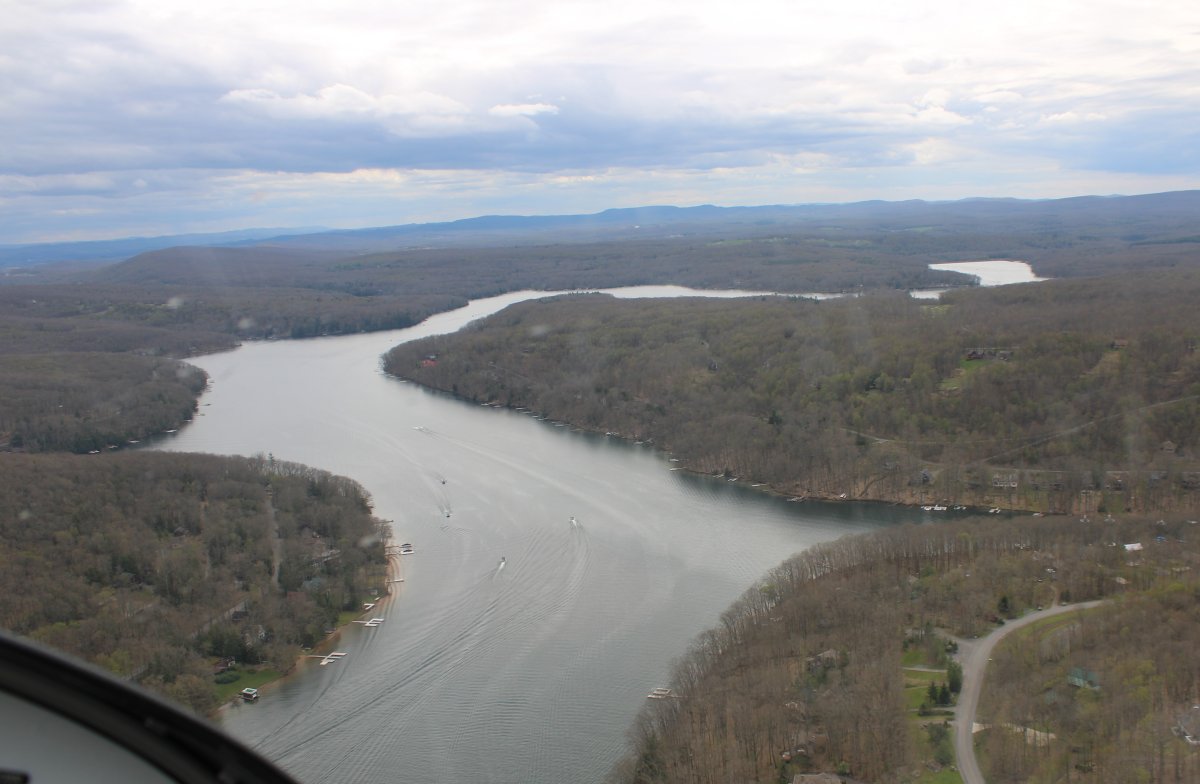
Continuing south.
|
| |
 |
|
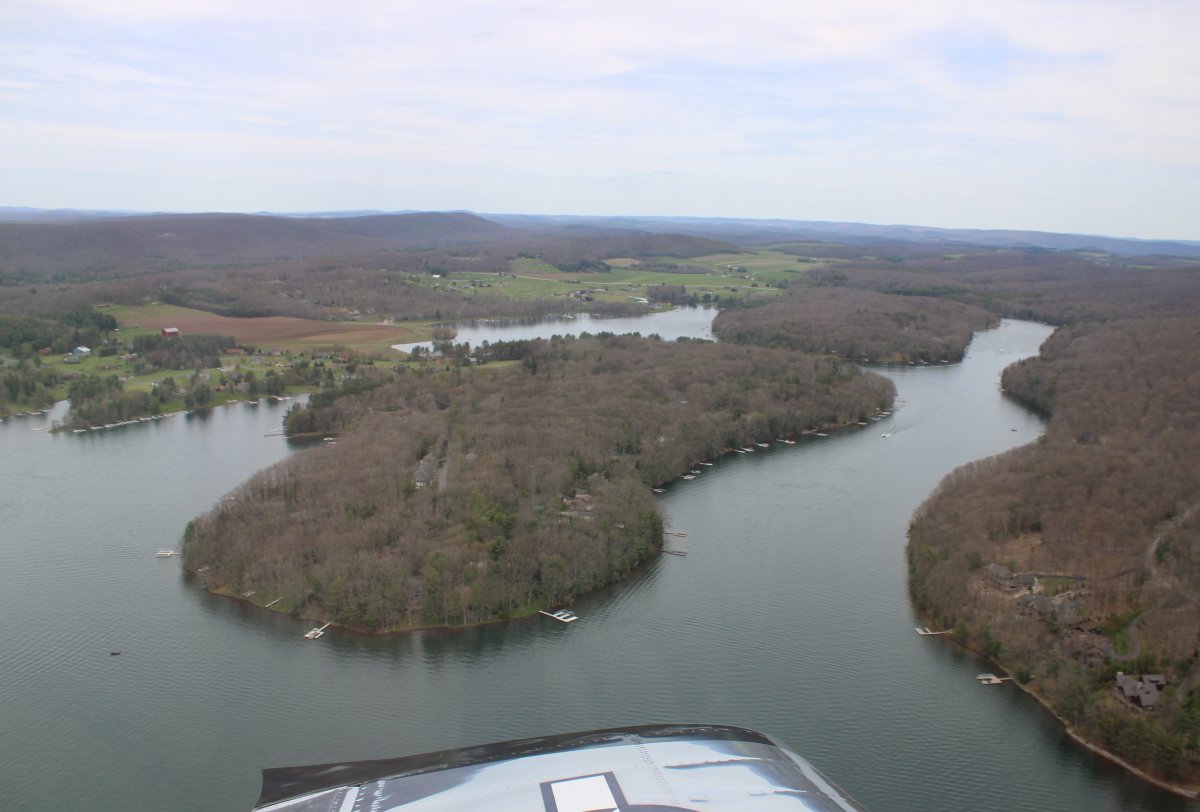
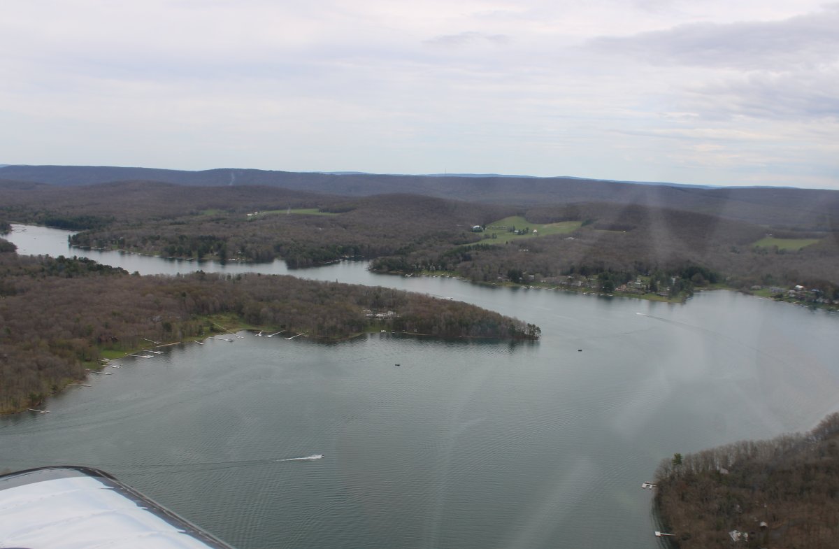
| Looking down a branch to the east. |
| |
 |
|
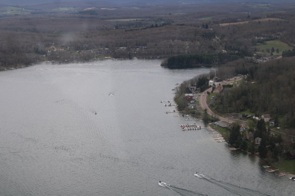
| Yeah, it's a big lake. |
| |
 |
|
| More very nice houses on the water. |
| |
 |
|
|
At the southern end of Deep Creek Lake.
|
| |
 |
|
| Then I turned east and headed for home. That's Highway 135 down below. |
| |
 |
|
|
Soon I encounter the North Branch of the Potomac River. Looking down at a big power plant on the river. To the left (north side) of the river is Maryland. To the right (south side) of the river is West Virginia.
|
| |
 |
|
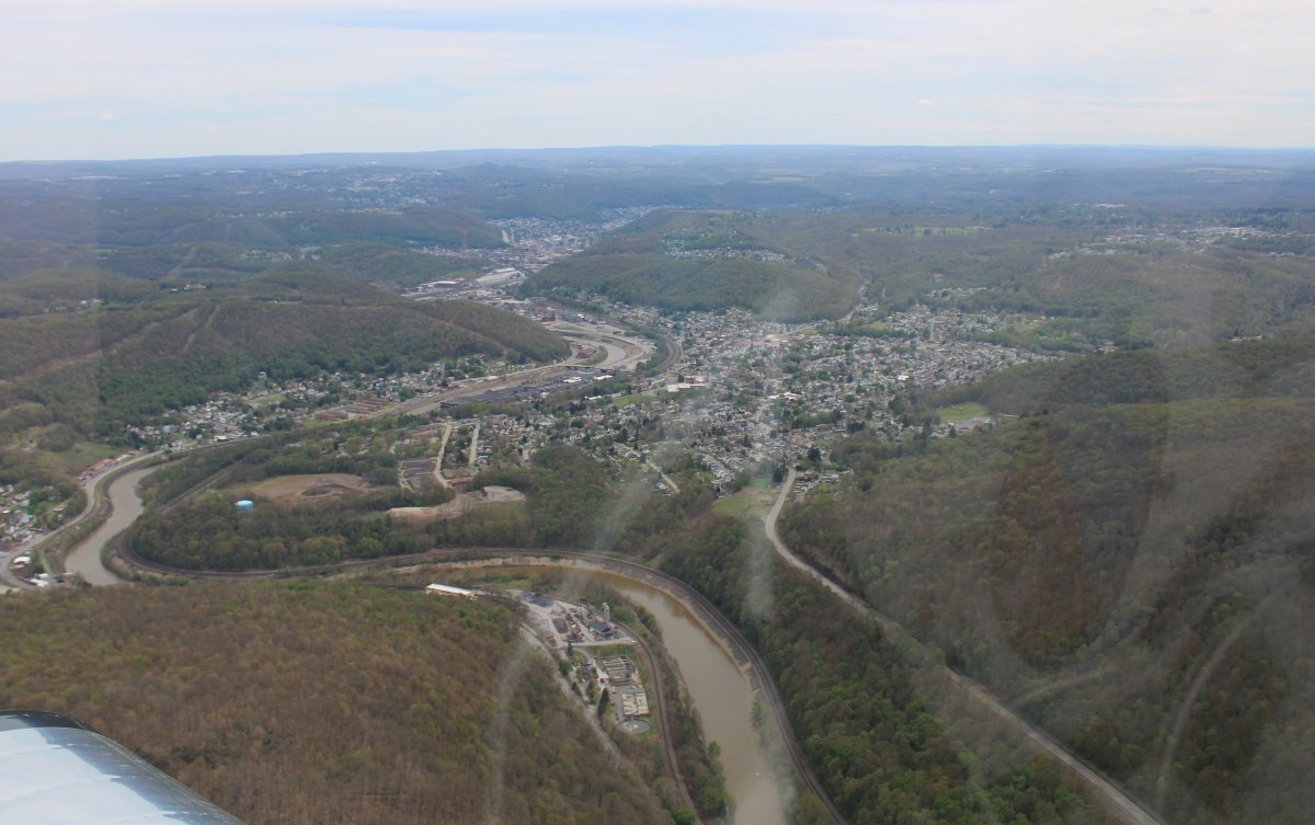
| Looking down at the town of Piedmont, West Virginia. |
| |
 |
|
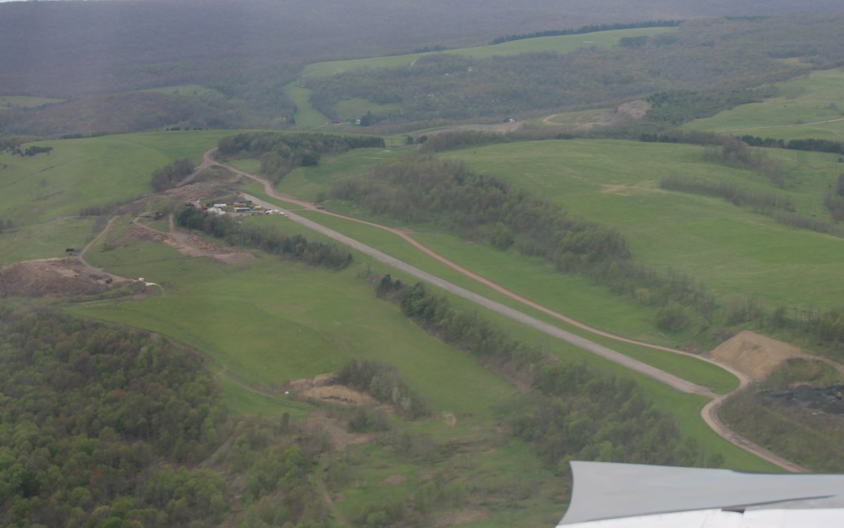
| This runway is marked closed on the chart. It is right next to a quarry and was probably operated by the quarry company. |
| |
 |
|
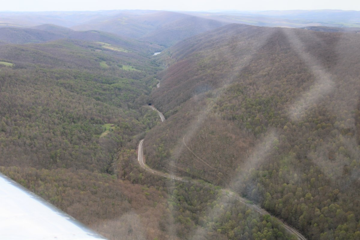
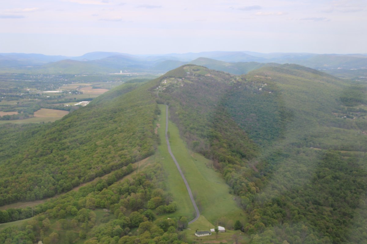
| Continuing on, I noticed this road going up a ridge. It would make a nice emergency landing site -- as long as you landed up hill! |
| |
 |
|
|
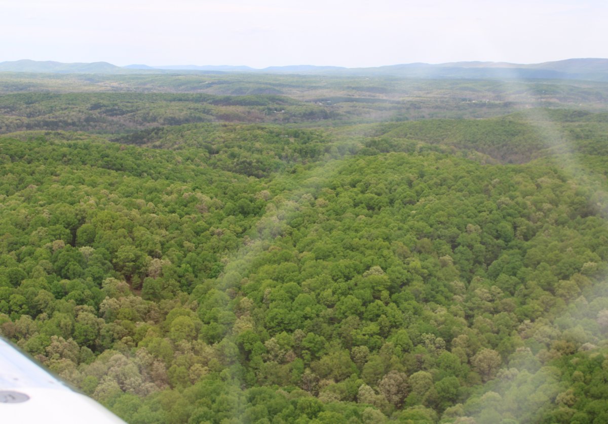
Pretty green forest.
|
| |
 |
|
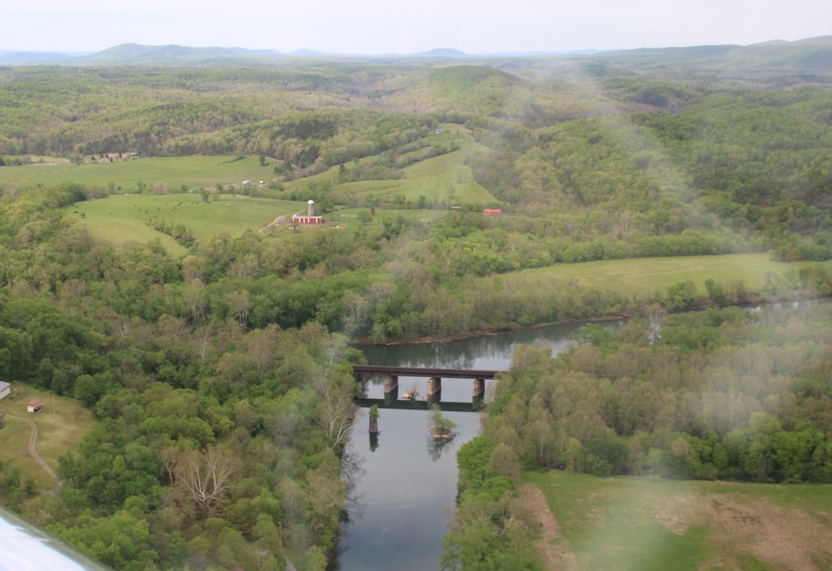
| The North Branch Potomac River really weaves and winds through the hills. Here a railroad bridge crosses the river. |
| |
 |
|
|
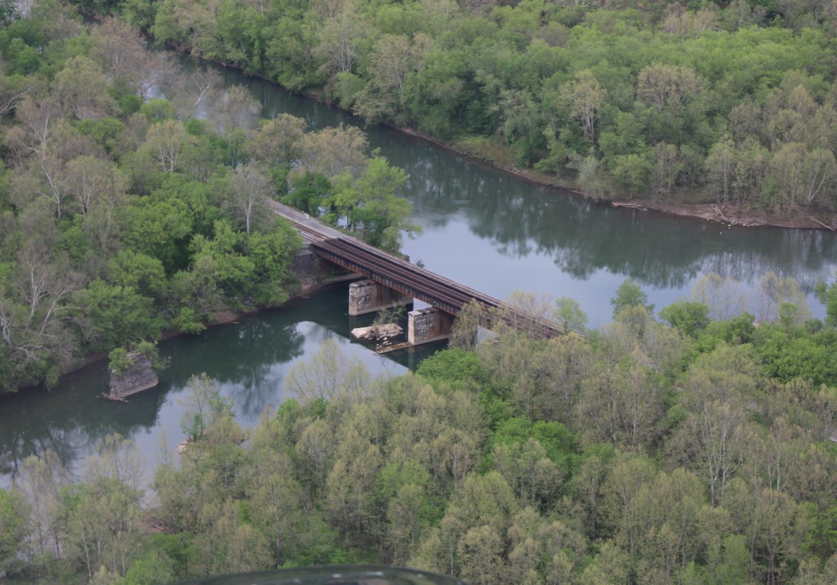
Close-up.
|
| |
 |
|
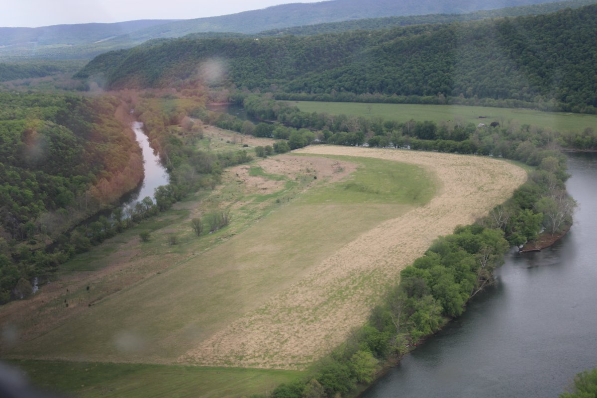
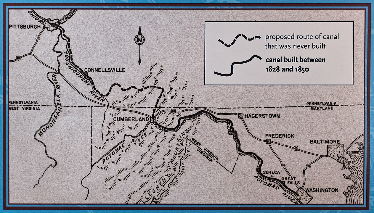
| Once I was on the east side of Cumberland, I started to see the remnants of the old Chesapeake and Ohio Canal alongside the North Branch Potomac River. |
| |
 |
|
|
The C&O Canal operated from 1831 until 1924 along the Potomac River from Washington, D.C., to Cumberland, Maryland. The canal's principal cargo was coal from the Allegheny Mountains.
The canal was opened for trade to Cumberland in 1850. Yet in 1850, the B&O Railroad had already been operating in Cumberland for eight years, and the Canal suffered financially. Debt-ridden, the company dropped its plan to continue construction of the next 180 miles of the canal into the Ohio Valley. The company long realized that construction over the mountains going to Pittsburgh was "wildly unrealistic". Even though the railroad beat the canal to Cumberland, the canal was not entirely obsolete. It wasn't until the mid-1870s that improved technology, specifically with larger locomotives and air brakes, allowed the railroad to set rates lower than the canal, and thus seal its fate.
The trip from Cumberland to Georgetown generally took about seven days.
The canal way is now maintained as the Chesapeake and Ohio Canal National Historical Park, with a trail that follows the old towpath.
|
| |
 |
|
|
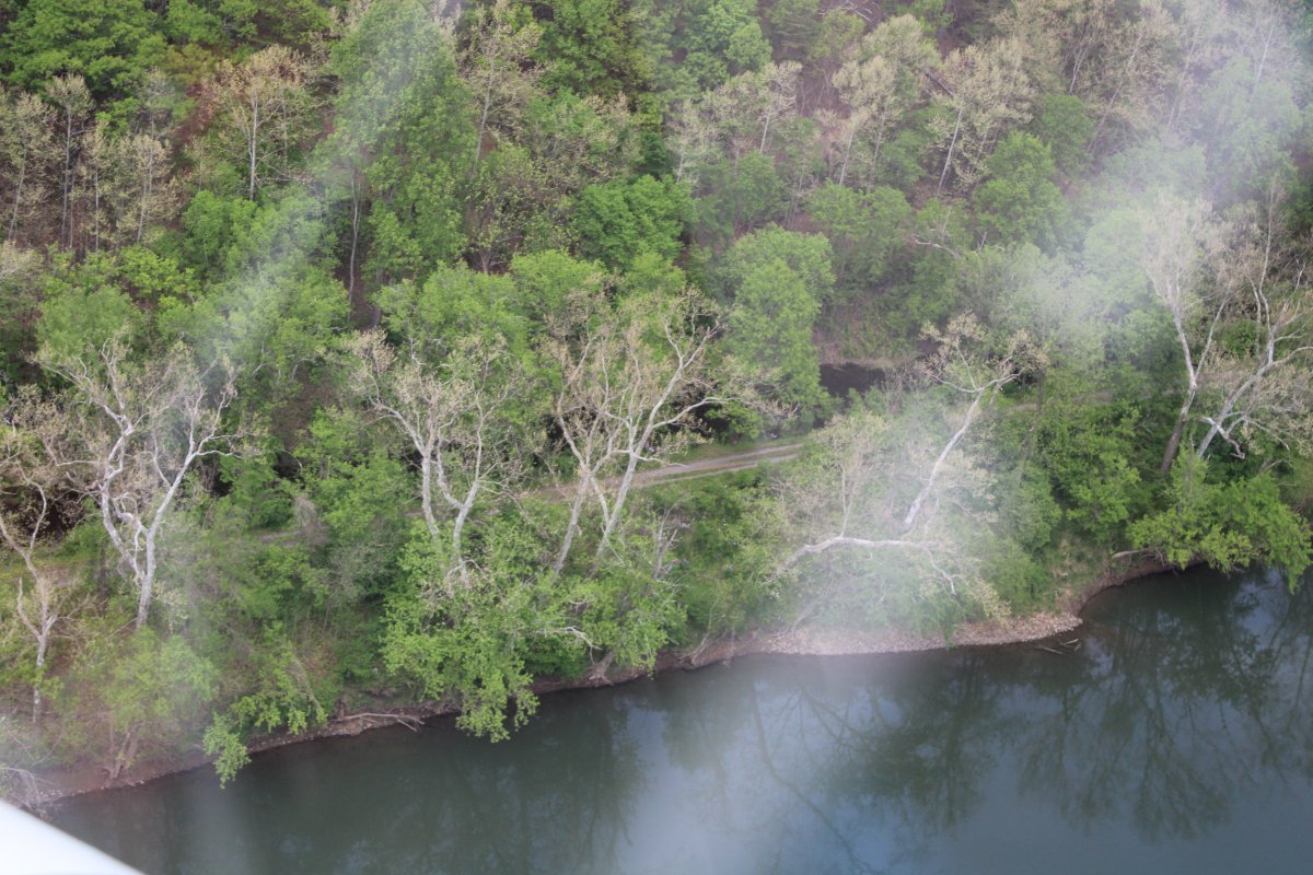
You can see what's left of the canal through the trees.
|
| |
 |
|
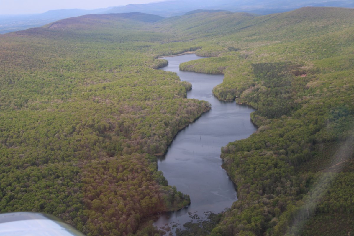
| Passing by a small lake up in the hills. |
| |
 |
|
|
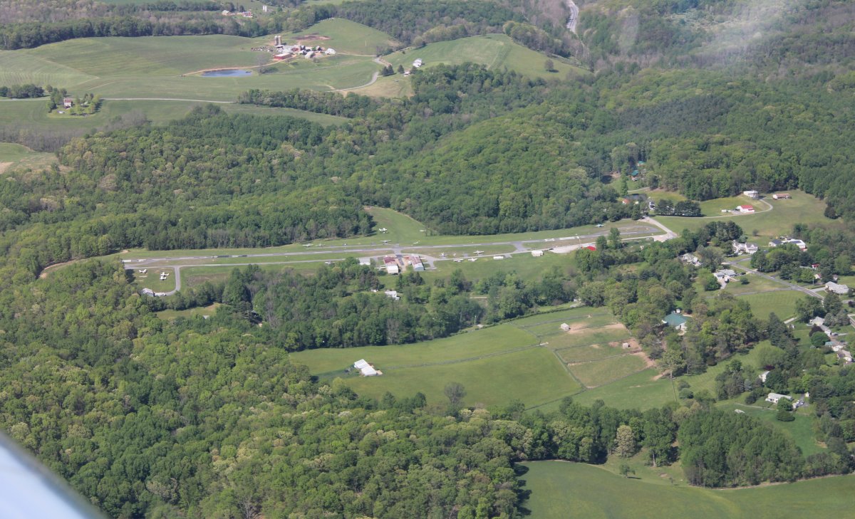
Passing by Clearview Airport.
|
| |
 |
|
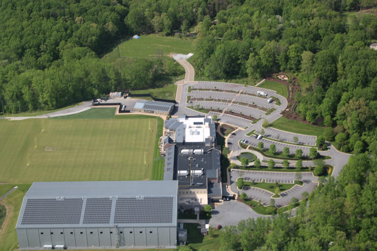
| Baltimore Ravens practice facility. Deserted thanks to the pandemic. I thought the Ravens were going all the way last season. I think everyone in Baltimore did. |
| |
 |
|
|
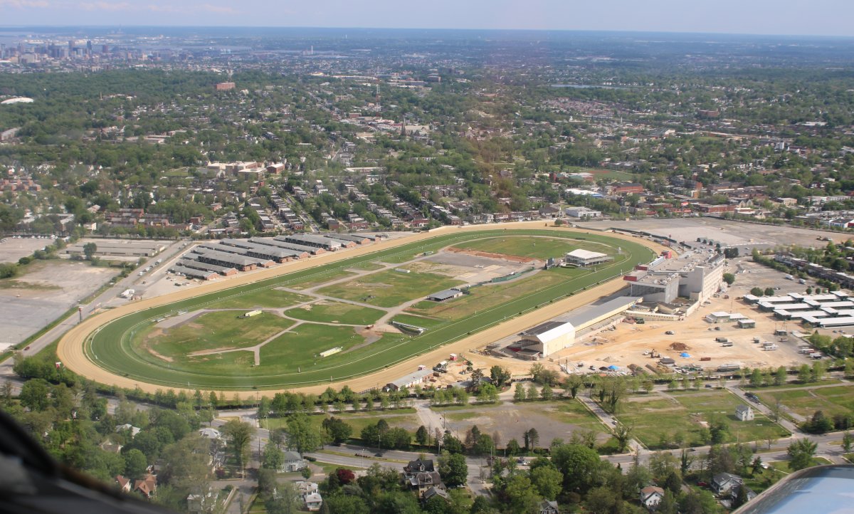
Passing by Pimlico Racetrack, home of the Preakness horse race, which was of course cancelled.
|
| |
 |
|
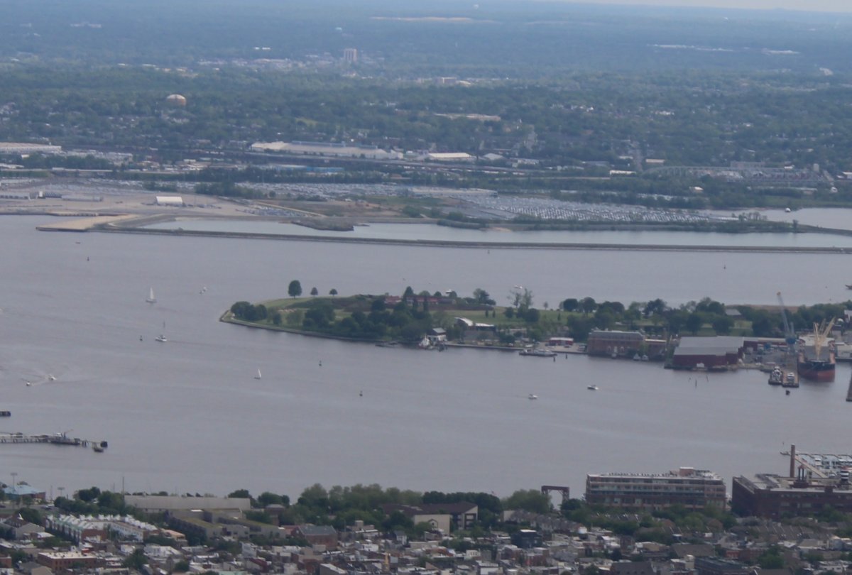
The visibility today was exceptional and since I flew fairly close to the inner boundary of the 1,500 foot airspace band, I was able to get this shot of Fort McHenry. If you are ever near Baltimore, Fort McHenry is a nice place to visit.
I flew roughly 4.5 hours today. I'm back!
|
| |
 |
|
| |
| |
|
|
|
|
|
|